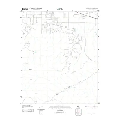
2012 Map of Tehachapi South
USGS Topo · Published 2012About this map
Mountain Valley Airport and the expanding residential corridors south of Tehachapi dominate this 2012 landscape, where high-desert aviation and rural ranching meet the rising peaks of the Tehachapi Mountains. The geography is defined by a series of prominent summits including Tehachapi Mountain, Double Mountain, and Covington Mountain, which transition into a complex network of named canyons such as Antelope Canyon, Blackburn Canyon, and Mendiburu Canyon.
Find a feature on this map
122 named features on this map. Tap any name to fly to it.
Don’t see what you’re looking for? This feature index may not catch every label — zoom into the map to look around manually.
Map Details
Editions of this 2012 Tehachapi South Map
This is the sole edition of this map. No revisions or reprints were ever made.
Other maps of this area
1903 · Tejon
USGS Topo · 1:125,000
1914 · Caliente
USGS Topo · 1:125,000
1915 · Elizabeth Lake
USGS Topo · 1:125,000
1915 · Mojave
USGS Topo · 1:125,000
1917 · Elizabeth Lake
USGS Topo · 1:125,000
1943 · Tehachapi
USGS Topo · 1:62,500
1943 · Cummings Mountain
USGS Topo · 1:62,500
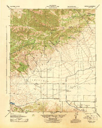
1943 · Neenach
USGS Topo · 1:62,500
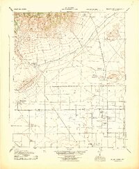
1943 · Willow Springs
USGS Topo · 1:62,500
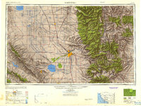
1948 · Bakersfield
USGS Topo · 1:250,000