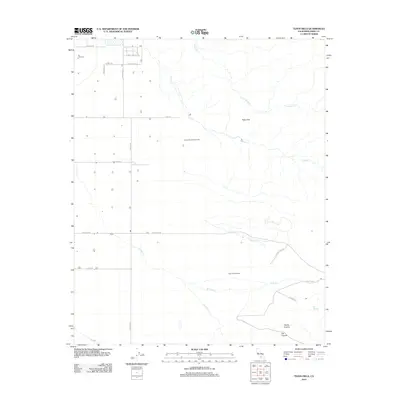
2012 Map of Tejon Hills
USGS Topo · Published 2012About this map
Industrial energy extraction and agricultural operations define this landscape in the southern San Joaquin Valley. The Comanche Point Oil Field and Tejon Hills Oil Field dominate the central topography, illustrating the region's long-standing reliance on petroleum resources. Scattered agricultural development is evident at the Jai Alai Dairy and along various rural routes such as Sandrini Rd and Valpredo Rd.
Find a feature on this map
24 named features on this map. Tap any name to fly to it.
Don’t see what you’re looking for? This feature index may not catch every label — zoom into the map to look around manually.
Map Details
Editions of this 2012 Tejon Hills Map
This is the sole edition of this map. No revisions or reprints were ever made.
Other maps of this area
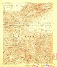
1903 · Tejon
USGS Topo · 1:125,000
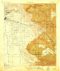
1914 · Caliente
USGS Topo · 1:125,000
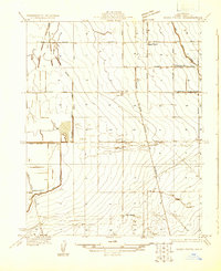
1930 · Weed Patch
USGS Topo · 1:31,680
1930 · Bear Mountain
USGS Topo · 1:31,680
1930 · Arvin
USGS Topo · 1:31,680
1931 · West of Tejon Hills
USGS Topo · 1:31,680
1931 · Tejon Hills
USGS Topo · 1:31,680
1933 · Arvin
USGS Topo · 1:31,680
1933 · Weed Patch
USGS Topo · 1:31,680
1933 · Tejon Hills
USGS Topo · 1:31,680