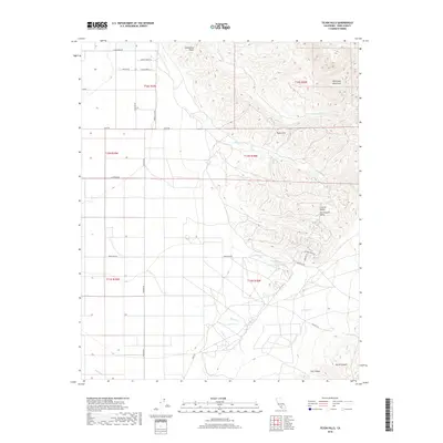
2018 Map of Tejon Hills
USGS Topo · Published 2018About this map
The Tehachapi Mountains rise sharply above the southern San Joaquin Valley floor, creating a stark transition between the alluvial plains and the dissected highlands of the Tejon Hills. This 2018 survey reveals a landscape defined by seasonal watercourses like Tejon Cr and Comanche Cr, which have carved deep drainage patterns through the foothills below Comanche Point. The mapping of local infrastructure such as Feedlot Ln and the 850 Canal illustrates the specialized agricultural and ranching operations that utilize this geography where the mountains meet the flatlands. To the southeast, the terrain becomes increasingly complex, marked by the sharp descents of Cat Canyon and Devils Canyon. This map serves as a precise record of late 2010s land use, capturing the layout of rural access routes like Rancho Rd and Sebastian Rd alongside natural landmarks like Bino Springs.
Find a feature on this map
33 named features on this map. Tap any name to fly to it.
Don’t see what you’re looking for? This feature index may not catch every label — zoom into the map to look around manually.
Map Details
Editions of this 2018 Tejon Hills Map
This is the sole edition of this map. No revisions or reprints were ever made.
Other maps of this area
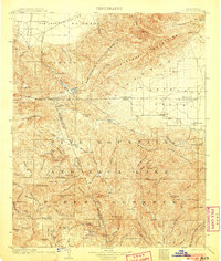
1903 · Tejon
USGS Topo · 1:125,000
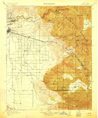
1914 · Caliente
USGS Topo · 1:125,000
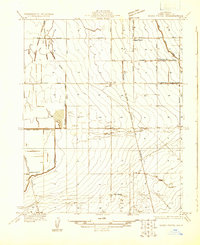
1930 · Weed Patch
USGS Topo · 1:31,680
1930 · Bear Mountain
USGS Topo · 1:31,680
1930 · Arvin
USGS Topo · 1:31,680
1931 · West of Tejon Hills
USGS Topo · 1:31,680
1931 · Tejon Hills
USGS Topo · 1:31,680
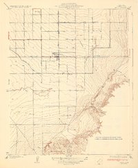
1933 · Arvin
USGS Topo · 1:31,680
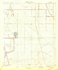
1933 · Weed Patch
USGS Topo · 1:31,680
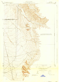
1933 · Tejon Hills
USGS Topo · 1:31,680