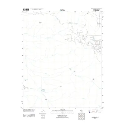
2012 Map of Tejon Ranch
USGS Topo · Published 2012About this map
Horsethief Mountain and the expansive Horsethief Flat dominate the northern terrain of this Kern County landscape, where the high desert meets the southern Sierra Nevada foothills. The map reveals a transition from traditional livestock territory at Tejon Ranch and Brodines Ranch to the modern residential development of Stallion Springs within Cummings Valley. This suburban growth is characterized by a dense network of streets with equestrian-themed names like Mustang Dr and Buckskin Dr, clustered on the eastern edge of the quadrangle.
Find a feature on this map
57 named features on this map. Tap any name to fly to it.
Don’t see what you’re looking for? This feature index may not catch every label — zoom into the map to look around manually.
Map Details
Editions of this 2012 Tejon Ranch Map
This is the sole edition of this map. No revisions or reprints were ever made.
Other maps of this area
1903 · Tejon
USGS Topo · 1:125,000
1914 · Caliente
USGS Topo · 1:125,000
1930 · Bear Mountain
USGS Topo · 1:31,680
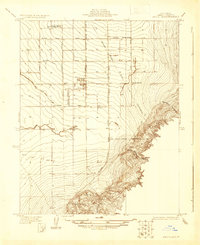
1930 · Arvin
USGS Topo · 1:31,680
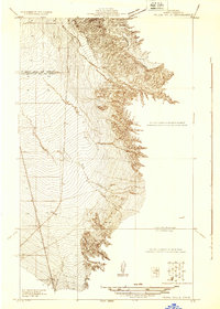
1931 · Tejon Hills
USGS Topo · 1:31,680
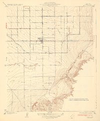
1933 · Arvin
USGS Topo · 1:31,680
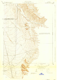
1933 · Tejon Hills
USGS Topo · 1:31,680
1933 · Bear Mountain
USGS Topo · 1:31,680
1943 · Cummings Mountain
USGS Topo · 1:62,500
1943 · Neenach
USGS Topo · 1:62,500