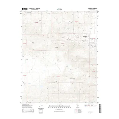
2015 Map of Tejon Ranch
USGS Topo · Published 2015About this map
Stallion Springs and the expansive Tejon Ranch grounds anchor this map at the transition between the San Joaquin Valley floor and the southern Sierra Nevada rise. The terrain is defined by the sharp ascent of the Tehachapi Mountains, where deep drainages like Tejon Canyon and Cedar Canyon carve through the high country. In Cummings Valley, a developed street network around Stallion Springs contrasts with the surrounding agricultural and ranching lands, featuring thoroughfares named for racing heritage such as Secretariat Rd and Bold Venture Dr.
Find a feature on this map
61 named features on this map. Tap any name to fly to it.
Don’t see what you’re looking for? This feature index may not catch every label — zoom into the map to look around manually.
Map Details
Editions of this 2015 Tejon Ranch Map
This is the sole edition of this map. No revisions or reprints were ever made.
Other maps of this area

1903 · Tejon
USGS Topo · 1:125,000

1914 · Caliente
USGS Topo · 1:125,000

1930 · Bear Mountain
USGS Topo · 1:31,680

1930 · Arvin
USGS Topo · 1:31,680

1931 · Tejon Hills
USGS Topo · 1:31,680

1933 · Arvin
USGS Topo · 1:31,680

1933 · Tejon Hills
USGS Topo · 1:31,680

1933 · Bear Mountain
USGS Topo · 1:31,680

1943 · Cummings Mountain
USGS Topo · 1:62,500

1943 · Neenach
USGS Topo · 1:62,500