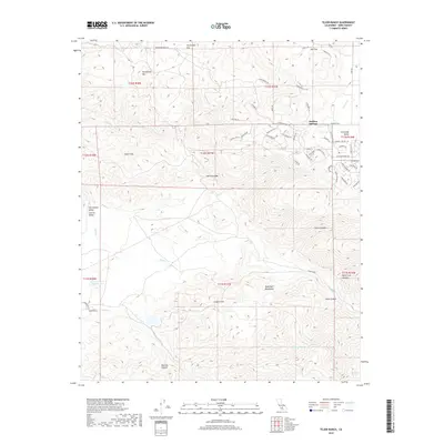
2018 Map of Tejon Ranch
USGS Topo · Published 2018About this map
Stallion Springs serves as a modern residential anchor amidst the high-elevation terrain of the Tehachapi Mountains and the edge of the Sierra Nevada. This 2018 survey illustrates the interface between the expanding street network of Stallion Springs and the expansive, conserved lands of the Tejon Ranch. The topography transition is stark, moving from the San Joaquin Valley Central Valley floor through the Tejon Hills and up into the steep drainage systems of Tejon Canyon and White Cow Canyon.
Find a feature on this map
68 named features on this map. Tap any name to fly to it.
Don’t see what you’re looking for? This feature index may not catch every label — zoom into the map to look around manually.
Map Details
Editions of this 2018 Tejon Ranch Map
This is the sole edition of this map. No revisions or reprints were ever made.
Other maps of this area

1903 · Tejon
USGS Topo · 1:125,000

1914 · Caliente
USGS Topo · 1:125,000

1930 · Bear Mountain
USGS Topo · 1:31,680

1930 · Arvin
USGS Topo · 1:31,680

1931 · Tejon Hills
USGS Topo · 1:31,680

1933 · Arvin
USGS Topo · 1:31,680

1933 · Tejon Hills
USGS Topo · 1:31,680

1933 · Bear Mountain
USGS Topo · 1:31,680

1943 · Cummings Mountain
USGS Topo · 1:62,500

1943 · Neenach
USGS Topo · 1:62,500