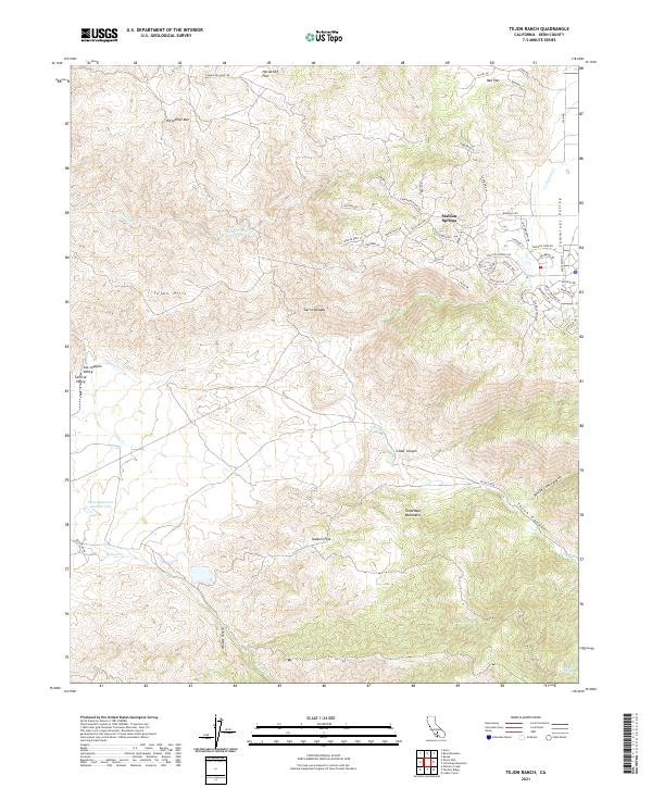
2021 Map of Tejon Ranch
USGS Topo · Published 2021About this map
Stallion Springs occupies a transitional landscape where the high Cummings Valley meets the slopes of the Tehachapi Mountains. This map documents a modern network of residential roads named for equestrian and golf themes, such as Stallion Springs Dr and Saint Andrews Dr, contrasting with the more primitive tracks of the surrounding ranch land. The terrain is marked by significant topographic features like Horsethief Mtn and Horsethief Flat to the north, suggesting the area's older history of travel through these passes. Water sources are critical in this arid environment, evidenced by named points like Havali Spring and Rosemarr Spring, alongside the Tejon Reservoir Number One. To the west, the land drops away into the vast San Joaquin Valley, while the rugged interior is carved by Tejon Canyon and Cedar Canyon.
Find a feature on this map
66 named features on this map. Tap any name to fly to it.
Don’t see what you’re looking for? This feature index may not catch every label — zoom into the map to look around manually.
Map Details
Editions of this 2021 Tejon Ranch Map
This is the sole edition of this map. No revisions or reprints were ever made.
Other maps of this area

1903 · Tejon
USGS Topo · 1:125,000

1914 · Caliente
USGS Topo · 1:125,000

1930 · Bear Mountain
USGS Topo · 1:31,680

1930 · Arvin
USGS Topo · 1:31,680

1931 · Tejon Hills
USGS Topo · 1:31,680

1933 · Arvin
USGS Topo · 1:31,680

1933 · Tejon Hills
USGS Topo · 1:31,680

1933 · Bear Mountain
USGS Topo · 1:31,680

1943 · Cummings Mountain
USGS Topo · 1:62,500

1943 · Neenach
USGS Topo · 1:62,500