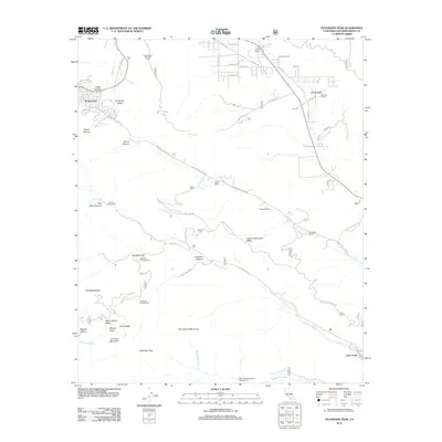
2012 Map of Telegraph Peak
USGS Topo · Published 2012About this map
Wrightwood sits at the base of dramatic high-elevation terrain in the eastern San Gabriel Mountains as documented in this 2012 survey. The landscape is defined by its extreme relief, falling away from Telegraph Peak and the Devils Backbone toward the deep drainages of Heath Canyon and Coldwater Canyon. The map reveals a network of high-country infrastructure including the Mount Baldy Notch and Miners Bowl, alongside numerous seasonal campsites like Big Horn Campground and Stockton Flat.
Find a feature on this map
68 named features on this map. Tap any name to fly to it.
Don’t see what you’re looking for? This feature index may not catch every label — zoom into the map to look around manually.
Map Details
Editions of this 2012 Telegraph Peak Map
This is the sole edition of this map. No revisions or reprints were ever made.
Other maps of this area

1896 · San Bernardino
USGS Topo · 1:62,500

1897 · Cucamonga
USGS Topo · 1:62,500

1898 · San Bernardino
USGS Topo · 1:62,500

1900 · Cucamonga
USGS Topo · 1:62,500

1901 · Southern California Sheet No. 1
USGS Topo · 1:250,000

1901 · San Bernardino
USGS Topo · 1:62,500

1902 · Hesperia
USGS Topo · 1:62,500

1903 · Cucamonga
USGS Topo · 1:62,500

1903 · San Antonio
USGS Topo · 1:62,500

1904 · Southern California Sheet No. 1
USGS Topo · 1:250,000