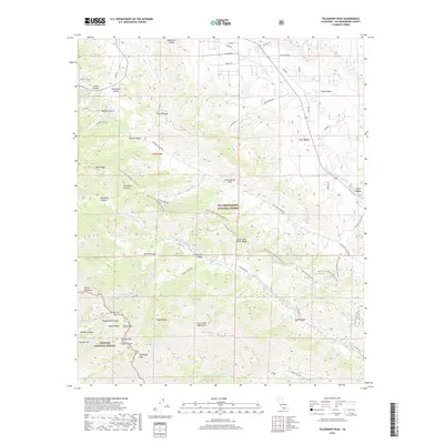
2018 Map of Telegraph Peak
USGS Topo · Published 2018About this map
The San Andreas Fault slices through the high country of the San Bernardino National Forest and Angeles National Forest, marking the dramatic geological divide of the San Gabriel Mountains. High-altitude settlements like Swarthout Valley and Manker Flat serve as access points to a network of trails and ridges, most notably the Pacific Crest National Scenic Trail as it traverses Blue Ridge and Telegraph Peak. The landscape is defined by deep incisions such as Lone Pine Canyon and Wildhorse Canyon, with seasonal water flow visible in Big Dutch Wash and the various forks of Lytle Creek. For local historians and recreationists, the map preserves the alignment of the Devils Backbone and the specific locations of Mount Baldy Notch and Miners Bowl, illustrating the area's transition from early mining prospects at Gold Ridge to its modern role as a major alpine recreational hub.
Find a feature on this map
63 named features on this map. Tap any name to fly to it.
Don’t see what you’re looking for? This feature index may not catch every label — zoom into the map to look around manually.
Map Details
Editions of this 2018 Telegraph Peak Map
This is the sole edition of this map. No revisions or reprints were ever made.
Other maps of this area

1896 · San Bernardino
USGS Topo · 1:62,500

1897 · Cucamonga
USGS Topo · 1:62,500

1898 · San Bernardino
USGS Topo · 1:62,500

1900 · Cucamonga
USGS Topo · 1:62,500

1901 · Southern California Sheet No. 1
USGS Topo · 1:250,000

1901 · San Bernardino
USGS Topo · 1:62,500

1902 · Hesperia
USGS Topo · 1:62,500

1903 · Cucamonga
USGS Topo · 1:62,500

1903 · San Antonio
USGS Topo · 1:62,500

1904 · Southern California Sheet No. 1
USGS Topo · 1:250,000