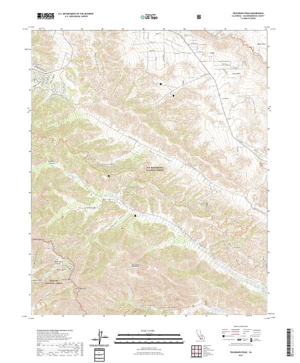
2021 Map of Telegraph Peak
USGS Topo · Published 2021About this map
Telegraph Peak and the high ridges of the San Gabriel Mountains dominate this 2021 survey, where the boundaries of the San Bernardino National Forest and Angeles National Forest meet. This terrain is defined by its dramatic relief, featuring prominent landmarks like Thunder Mtn, Gold Ridge, and the Miners Bowl south of Mount Baldy Notch. The landscape is a hub for high-altitude recreation and transit, with the Pacific Crest National Scenic Trl winding across the Upper Lytle Creek Divide and the Devils Backbone Trl tracing the narrow ridges.
Find a feature on this map
65 named features on this map. Tap any name to fly to it.
Don’t see what you’re looking for? This feature index may not catch every label — zoom into the map to look around manually.
Map Details
Editions of this 2021 Telegraph Peak Map
This is the sole edition of this map. No revisions or reprints were ever made.
Other maps of this area

1896 · San Bernardino
USGS Topo · 1:62,500

1897 · Cucamonga
USGS Topo · 1:62,500

1898 · San Bernardino
USGS Topo · 1:62,500

1900 · Cucamonga
USGS Topo · 1:62,500

1901 · Southern California Sheet No. 1
USGS Topo · 1:250,000

1901 · San Bernardino
USGS Topo · 1:62,500

1902 · Hesperia
USGS Topo · 1:62,500

1903 · Cucamonga
USGS Topo · 1:62,500

1903 · San Antonio
USGS Topo · 1:62,500

1904 · Southern California Sheet No. 1
USGS Topo · 1:250,000