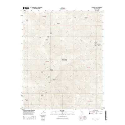
2015 Map of Telescope Peak
USGS Topo · Published 2015About this map
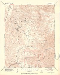
Telescope Peak dominates this high-altitude survey of the Panamint Range, marking the highest point within Death Valley National Park. The topography reveals a dramatic vertical landscape where the eastern slopes fall away toward the Mojave Desert, deeply incised by a network of drainage systems including Hanaupah Canyon and its various forks. Above the desert floor, the terrain transitions to high-country features such as Arcane Meadows, Piñon Mesa, and Mahogany Flat.
Find a feature on this map
35 named features on this map. Tap any name to fly to it.
Don’t see what you’re looking for? This feature index may not catch every label — zoom into the map to look around manually.
Map Details
Editions of this 2015 Telescope Peak Map
This is the sole edition of this map. No revisions or reprints were ever made.
Other maps of this area

1908 · Furnace Creek
USGS Topo · 1:250,000

1908 · Ballarat
USGS Topo · 1:250,000

1910 · Furnace Creek
USGS Topo · 1:250,000

1913 · Ballarat
USGS Topo · 1:250,000

1948 · Death Valley
USGS Topo · 1:250,000
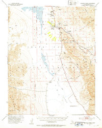
1952 · Furnace Creek
USGS Topo · 1:62,500
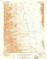
1952 · Bennetts Well
USGS Topo · 1:62,500
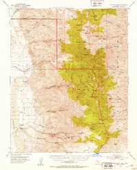
1952 · Telescope Peak
USGS Topo · 1:62,500
1952 · Emigrant Canyon
USGS Topo · 1:62,500

1954 · Death Valley
USGS Topo · 1:250,000