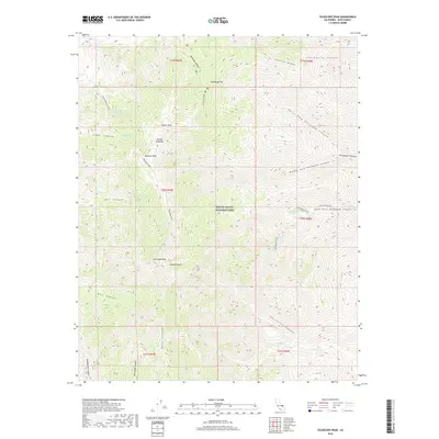
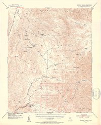
2018 Map of Telescope Peak
USGS Topo · Published 2018About this map
Telescope Peak dominates this high-altitude landscape within Death Valley National Park, where the Panamint Range reaches its dramatic summit. The terrain is characterized by a series of prominent peaks and ridgelines, including Rogers Peak, Bennett Peak, and the long stretch of Coville Ridge. These elevations provide a stark contrast to the surrounding desert, offering enough moisture to support a series of isolated water sources such as Hanaupah Spring, Hummingbird Spring, and Birch Spring.
Find a feature on this map
33 named features on this map. Tap any name to fly to it.
Don’t see what you’re looking for? This feature index may not catch every label — zoom into the map to look around manually.
Map Details
Editions of this 2018 Telescope Peak Map
This is the sole edition of this map. No revisions or reprints were ever made.
Other maps of this area

1908 · Furnace Creek
USGS Topo · 1:250,000

1908 · Ballarat
USGS Topo · 1:250,000

1910 · Furnace Creek
USGS Topo · 1:250,000

1913 · Ballarat
USGS Topo · 1:250,000

1948 · Death Valley
USGS Topo · 1:250,000
1952 · Furnace Creek
USGS Topo · 1:62,500
1952 · Bennetts Well
USGS Topo · 1:62,500
1952 · Telescope Peak
USGS Topo · 1:62,500
1952 · Emigrant Canyon
USGS Topo · 1:62,500

1954 · Death Valley
USGS Topo · 1:250,000