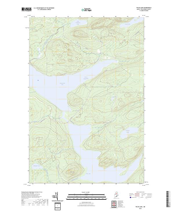
2024 Map of Telos Lake
USGS Topo · Published 2024About this map
The Allagash Wild and Scenic River corridor dominates this northern Maine landscape, serving as a critical link in the historic North Woods waterway system. Centered on the connection between Chamberlain Lake and Telos Lake, the map documents a terrain defined by glacial ponds and timber-industry infrastructure. The Arm of Chamberlain reaches toward the south, where the local elevation is anchored by Telos Mtn. Access to these remote waters is limited to primitive forest routes such as Telos Rd, Nugents Camp Rd, and Umbazookus Rd. These roads trace the same paths used for generations by loggers and backcountry guides. Small, isolated water bodies like Coffeelos Pond, Imlos Pond, and Midnight Pond dot the drainage basins, illustrating the complex hydrology that made this region famous for nineteenth-century log drives and contemporary wilderness recreation.
Find a feature on this map
18 named features on this map. Tap any name to fly to it.
Don’t see what you’re looking for? This feature index may not catch every label — zoom into the map to look around manually.
Map Details
Editions of this 2024 Telos Lake Map
This is the sole edition of this map. No revisions or reprints were ever made.
Other maps of this area

1953 · Telos Lake
USGS Topo · 1:62,500

1954 · Chesuncook
USGS Topo · 1:62,500

1954 · Spider Lake
USGS Topo · 1:62,500

1954 · Churchill Lake
USGS Topo · 1:62,500

1954 · Presque Isle
USGS Topo · 1:250,000

1957 · Telos Lake
USGS Topo · 1:62,500

1958 · Presque Isle
USGS Topo · 1:250,000

1958 · Chesuncook
USGS Topo · 1:62,500

1960 · Presque Isle
USGS Topo · 1:250,000

1961 · Spider Lake
USGS Topo · 1:62,500