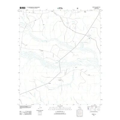
2012 Map of Temple
USGS Topo · Published 2012About this map
Temple and Burnstown anchor the southern portion of this central Louisiana landscape, where the local road network follows the winding course of Bayou Celestine. The area is defined by a dense system of seasonal drainages including Devils Cr, Comrade Cr, and Middle Cr, which suggest a terrain of low-lying wetlands and pine flats. Small settlements and specialized locations such as Zimmerman Camp and Temple Spur appear alongside rural crossroads like Mora and Pine Coupee in the north. For genealogists and local historians, the sheet preserves the locations of several community burial grounds, including Comrade Cem and Schorn Brook Cem, as well as Blackwell Cem further south. Long-established parish routes, such as Kisatchie-Mora Rd and Firetower Rd, provide a window into the historic movement of people and timber through this Vernon Parish region.
Find a feature on this map
67 named features on this map. Tap any name to fly to it.
Don’t see what you’re looking for? This feature index may not catch every label — zoom into the map to look around manually.
Map Details
Editions of this 2012 Temple Map
This is the sole edition of this map. No revisions or reprints were ever made.
Other maps of this area

1937 · Chopin NE
USGS Topo · 1:31,680

1937 · Chopin SW
USGS Topo · 1:31,680

1937 · Chopin NW
USGS Topo · 1:31,680

1937 · Chopin SE
USGS Topo · 1:31,680

1941 · Slagle
USGS Topo · 1:62,500

1942 · Kisatchie
USGS Topo · 1:62,500

1943 · Leander
USGS Topo · 1:62,500

1943 · Kisatchie
USGS Topo · 1:62,500

1944 · Chopin
USGS Topo · 1:62,500

1944 · Slagle
USGS Topo · 1:62,500