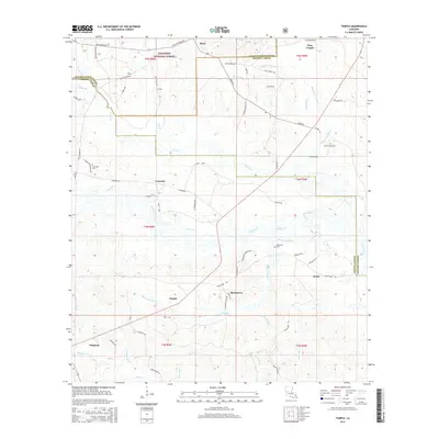
2015 Map of Temple
USGS Topo · Published 2015About this map
Kisatchie National Forest covers much of this North Louisiana landscape, where the borders of Natchitoches, Vernon, and Rapides parishes converge. The area is defined by a dense network of creek branches and bayous, including the winding Bayou Celestine and Comrade Cr. Small settlements and named crossroads like Comrade, Temple, and Burnstown are linked by a complex system of local routes such as Mora Rd and Comrade Rd. For those tracing local families, several small burial sites are mapped, including Comrade Cem and the Blackwell Cem further south. The land use is characterized by timber management and rural homesteads, with drainage patterns flowing toward southern water bodies like Menace Cr and Mims Cr near the community of Simpson.
Find a feature on this map
71 named features on this map. Tap any name to fly to it.
Don’t see what you’re looking for? This feature index may not catch every label — zoom into the map to look around manually.
Map Details
Editions of this 2015 Temple Map
This is the sole edition of this map. No revisions or reprints were ever made.
Other maps of this area

1937 · Chopin NE
USGS Topo · 1:31,680

1937 · Chopin SW
USGS Topo · 1:31,680

1937 · Chopin NW
USGS Topo · 1:31,680

1937 · Chopin SE
USGS Topo · 1:31,680

1941 · Slagle
USGS Topo · 1:62,500

1942 · Kisatchie
USGS Topo · 1:62,500

1943 · Leander
USGS Topo · 1:62,500

1943 · Kisatchie
USGS Topo · 1:62,500

1944 · Chopin
USGS Topo · 1:62,500

1944 · Slagle
USGS Topo · 1:62,500