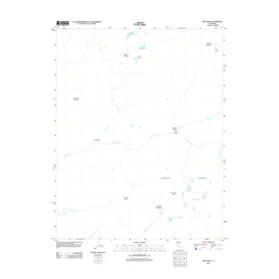
2012 Map of Ten Lakes
USGS Topo · Published 2012About this map
The Tuolumne River carves through this high-elevation wilderness, creating the dramatic depth of Muir Gorge and the sheltered stretch of Pate Valley. The landscape is defined by its dramatic relief, where the river system connects with tributaries like Piute Cr and Register Cr amidst a cluster of alpine peaks and meadows. To the south, Ten Lakes Pass serves as a high point overlooking the namesake Ten Lakes basin, a concentrated group of water bodies that feed into Yosemite Cr.
Find a feature on this map
25 named features on this map. Tap any name to fly to it.
Don’t see what you’re looking for? This feature index may not catch every label — zoom into the map to look around manually.
Map Details
Editions of this 2012 Ten Lakes Map
This is the sole edition of this map. No revisions or reprints were ever made.
Other maps of this area

1896 · Dardanelles
USGS Topo · 1:125,000

1897 · Yosemite
USGS Topo · 1:125,000

1898 · Dardanelles
USGS Topo · 1:125,000

1900 · Yosemite
USGS Topo · 1:125,000

1901 · Mt. Lyell
USGS Topo · 1:125,000

1903 · Yosemite
USGS Topo · 1:125,000

1909 · Yosemite
USGS Topo · 1:125,000

1909 · Bridgeport
USGS Topo · 1:125,000

1911 · Bridgeport
USGS Topo · 1:125,000

1920 · Bridgeport
USGS Topo · 1:125,000