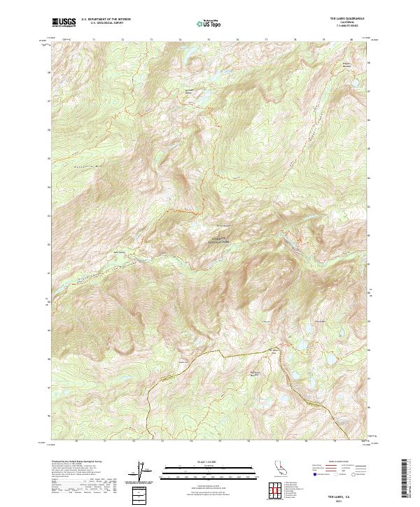
2021 Map of Ten Lakes
USGS Topo · Published 2021About this map
Yosemite National Park occupies the heart of this high-elevation wilderness survey, dominated by the dramatic descent of the Tuolumne River through its most storied granite corridors. The landscape is defined by the Grand Canyon of the Tuolumne River and the narrow passage of Muir Gorge, where the water transitions from the high meadows of the Sierra Nevada into deep, carved basins. Evidence of the region’s glacial history is visible in the distribution of high-altitude basins like Pate Valley and the numerous small alpine catchments including Table Lake and Grant Lakes.
Find a feature on this map
35 named features on this map. Tap any name to fly to it.
Don’t see what you’re looking for? This feature index may not catch every label — zoom into the map to look around manually.
Map Details
Editions of this 2021 Ten Lakes Map
This is the sole edition of this map. No revisions or reprints were ever made.
Other maps of this area

1896 · Dardanelles
USGS Topo · 1:125,000

1897 · Yosemite
USGS Topo · 1:125,000

1898 · Dardanelles
USGS Topo · 1:125,000

1900 · Yosemite
USGS Topo · 1:125,000

1901 · Mt. Lyell
USGS Topo · 1:125,000

1903 · Yosemite
USGS Topo · 1:125,000

1909 · Yosemite
USGS Topo · 1:125,000

1909 · Bridgeport
USGS Topo · 1:125,000

1911 · Bridgeport
USGS Topo · 1:125,000

1920 · Bridgeport
USGS Topo · 1:125,000