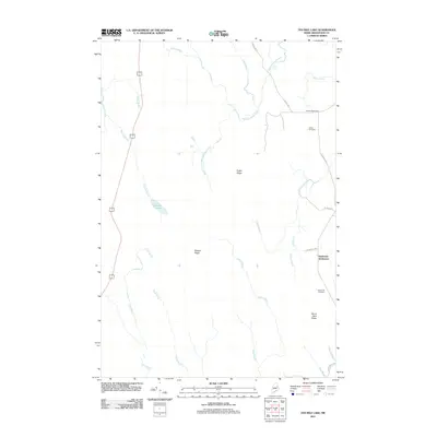
2011 Map of Ten Mile Lake
USGS Topo · Published 2011About this map
Meduxnekeag Stream and its tributaries define the drainage of this north-central Maine landscape, where legacy family names remain etched onto the land through settlements and ridges. In this 2011 survey, Wilcox Settlement and Estabrook Settlement stand as primary points of historical interest, each accompanied by its own burial ground, the Wilcox Cemetery and Estabrook Cemetery. These sites are linked by a network of local thoroughfares such as Wilcox Rd and Estabrook Rd, illustrating the enduring local footprint of these early families.
Find a feature on this map
30 named features on this map. Tap any name to fly to it.
Don’t see what you’re looking for? This feature index may not catch every label — zoom into the map to look around manually.
Map Details
Editions of this 2011 Ten Mile Lake Map
This is the sole edition of this map. No revisions or reprints were ever made.
Other maps of this area

1937 · Smyrna Mills
USGS Topo · 1:62,500

1938 · Houlton
USGS Topo · 1:62,500

1940 · Amity
USGS Topo · 1:62,500

1941 · Amity
USGS Topo · 1:62,500

1941 · Mattawamkeag Lake
USGS Topo · 1:62,500

1943 · Amity
USGS Topo · 1:62,500

1943 · Mattawamkeag Lake
USGS Topo · 1:62,500

1951 · Houlton
USGS Topo · 1:62,500

1954 · Presque Isle
USGS Topo · 1:250,000

1954 · Millinocket
USGS Topo · 1:250,000