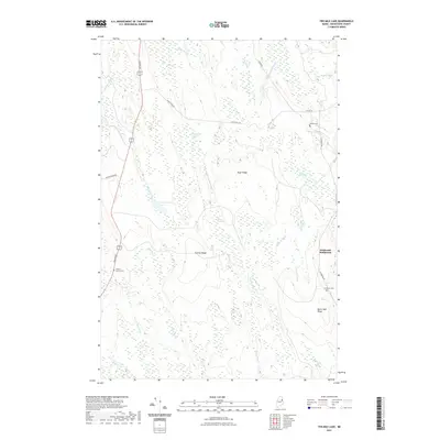
2021 Map of Ten Mile Lake
USGS Topo · Published 2021About this map
Estabrook Settlement and its nearby Estabrook Cem anchor the eastern side of this Aroostook County landscape, representing a quiet pocket of rural Maine life. The terrain is defined by a series of north-south elevations, including Sugar Ridge, Stetson Ridge, and Burnt Dam Ridge, which shape the flow of local waterways like the Meduxnekeag Stream and its southern branch. Historically minded researchers will note the Hiram T. Smith Grave located off Bangor Rd, a specific point of interest for local genealogists.
Find a feature on this map
33 named features on this map. Tap any name to fly to it.
Don’t see what you’re looking for? This feature index may not catch every label — zoom into the map to look around manually.
Map Details
Editions of this 2021 Ten Mile Lake Map
This is the sole edition of this map. No revisions or reprints were ever made.
Other maps of this area

1937 · Smyrna Mills
USGS Topo · 1:62,500

1938 · Houlton
USGS Topo · 1:62,500

1940 · Amity
USGS Topo · 1:62,500

1941 · Amity
USGS Topo · 1:62,500

1941 · Mattawamkeag Lake
USGS Topo · 1:62,500

1943 · Amity
USGS Topo · 1:62,500

1943 · Mattawamkeag Lake
USGS Topo · 1:62,500

1951 · Houlton
USGS Topo · 1:62,500

1954 · Presque Isle
USGS Topo · 1:250,000

1954 · Millinocket
USGS Topo · 1:250,000