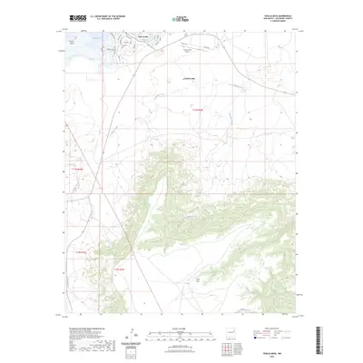
2023 Map of Tenaja Mesa
USGS Topo · Published 2023About this map
Conchas Lake and its surrounding high desert landscape dominate this modern survey of San Miguel County. The settlement of Hooverville is established along the northwestern shore, characterized by a residential street network including Yucca Ave, Canadian Dr, and Harbor Ave that cater to the recreation and water access provided by the lake. Significant infrastructure is present at the Conchas Dam and the nearby Conchas Lake Airport, supporting both the management of the reservoir and regional transport.
Find a feature on this map
30 named features on this map. Tap any name to fly to it.
Don’t see what you’re looking for? This feature index may not catch every label — zoom into the map to look around manually.
Map Details
Editions of this 2023 Tenaja Mesa Map
This is the sole edition of this map. No revisions or reprints were ever made.
Other maps of this area

1954 · Santa Fe
USGS Topo · 1:250,000

1958 · Santa Fe
USGS Topo · 1:250,000

1964 · Neafus Ranch
USGS Topo · 1:24,000

1964 · Muniz Canyon
USGS Topo · 1:24,000

1964 · Ortega Tank
USGS Topo · 1:24,000

1967 · Tenaja Mesa
USGS Topo · 1:24,000

1967 · Monument Point
USGS Topo · 1:24,000

1968 · La Cinta Mesa
USGS Topo · 1:24,000

1968 · Conchas Dam
USGS Topo · 1:24,000

1972 · Four V Ranch
USGS Topo · 1:24,000