
1964 Map of Ortega Tank
USGS Topo · Published 1967About this map
Mesa Rica dominates this high-plains landscape where San Miguel and Guadalupe counties meet, characterized by deep incisions like Montoya Canyon and Ortega Canyon. The 1964 field data reveals a ranching economy dependent on a network of man-made water sources and family-named landmarks. Numerous water features are scattered across the terrain, including the Mitchell Windmill, Tarkington Windmill, and Benavidez Windmills, alongside various tanks such as Aragon Tank and Padilla Tank. These named features provide specific geographic anchors for genealogists and local historians tracking land use in this part of New Mexico. The presence of a Radio Tower and an underground Pipeline suggests the mid-century modernization of this remote mesa, even as traditional drainage patterns like La Manga Creek and Caracita Creek continue to define the physical geography of the basin.
Find a feature on this map
29 named features on this map. Tap any name to fly to it.
Don’t see what you’re looking for? This feature index may not catch every label — zoom into the map to look around manually.
Map Details
Editions of this 1964 Ortega Tank Map
This is the sole edition of this map. No revisions or reprints were ever made.
Other maps of this area

1954 · Santa Fe
USGS Topo · 1:250,000

1958 · Santa Fe
USGS Topo · 1:250,000

1964 · Neafus Ranch
USGS Topo · 1:24,000

1964 · Muniz Canyon
USGS Topo · 1:24,000

1964 · Gate Canyon
USGS Topo · 1:24,000

1964 · Newkirk
USGS Topo · 1:24,000
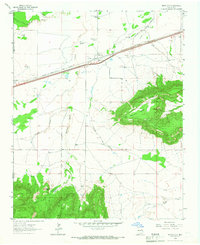
1964 · Montoya
USGS Topo · 1:24,000

1967 · Tenaja Mesa
USGS Topo · 1:24,000

1967 · Monument Point
USGS Topo · 1:24,000
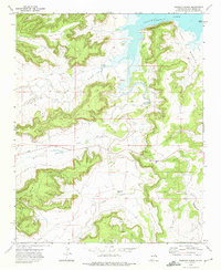
1972 · Bookout Ranch
USGS Topo · 1:24,000