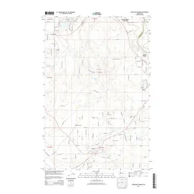
2013 Map of Tenalquot Prairie
USGS Topo · Published 2013About this map
Tenalquot Prairie occupies the heart of this landscape south of the Nisqually River, showing a transition from the urban centers of Yelm and Rainier to the open land between the river and the Deschutes River in the southwest corner. The map documents a blend of residential growth and long-standing rural holdings, such as Burnham Ranch and various small lakes including Fiander Lake and Lake Saint Clair.
Find a feature on this map
112 named features on this map. Tap any name to fly to it.
Don’t see what you’re looking for? This feature index may not catch every label — zoom into the map to look around manually.
Map Details
Editions of this 2013 Tenalquot Prairie Map
This is the sole edition of this map. No revisions or reprints were ever made.
Other maps of this area

1916 · Chehalis
USGS Topo · 1:125,000

1937 · Olympia
USGS Topo · 1:62,500

1940 · Tenino
USGS Topo · 1:62,500

1940 · Anderson Island
USGS Topo · 1:62,500

1944 · Tenino
USGS Topo · 1:62,500

1944 · Yelm
USGS Topo · 1:62,500

1948 · Anderson Island
USGS Topo · 1:62,500

1948 · Fort Lewis
USGS Topo · 1:24,000

1948 · Nisqually
USGS Topo · 1:24,000

1949 · Yelm
USGS Topo · 1:62,500