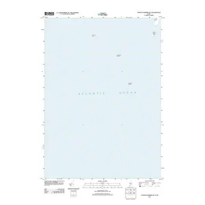
2011 Map of Tenants Harbor OE S
USGS Topo · Published 2011About this map
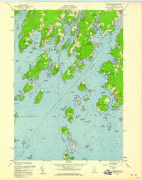
Metinic Green Island and a small collection of named maritime hazards define this portion of the Atlantic Ocean off the coast of Maine. This hydrographic study documents several critical navigational landmarks including the rocky outcropping known as The Nubble and submerged threats such as Roaring Bull, Southeast Breaker, and Haddock Ledge. Because the majority of this quadrangle covers open water, it serves primarily as a specialized record of the small islands and sea-level terrain features that have long challenged coastal navigation in the region. The map provides precise positioning for these isolated landforms, which remain essential reference points for local mariners and those studying the geological fringes of the Knox County shoreline.
Find a feature on this map
6 named features on this map. Tap any name to fly to it.
Don’t see what you’re looking for? This feature index may not catch every label — zoom into the map to look around manually.
Map Details
Editions of this 2011 Tenants Harbor OE S Map
This is the sole edition of this map. No revisions or reprints were ever made.
Other maps of this area

1904 · Monhegan
USGS Topo · 1:62,500

1904 · Tenants Harbor
USGS Topo · 1:62,500

1906 · Tennant Harbor
USGS Topo · 1:62,500

1906 · Monhegan
USGS Topo · 1:62,500

1948 · Bath
USGS Topo · 1:250,000
1955 · Hewett Island
USGS Topo · 1:24,000
1955 · Tenants Harbor
USGS Topo · 1:24,000
1955 · Monhegan
USGS Topo · 1:24,000
1955 · Friendship
USGS Topo · 1:24,000

1956 · Bath
USGS Topo · 1:250,000