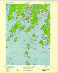
1955 Map of Friendship
USGS Topo · Published 1959About this map
Friendship and the coastal reaches of Cushing define this mid-century view of the Maine shoreline, where the landscape is dictated by deep tidal inlets and a scattering of granite islands. This 1955 field-checked survey reveals a maritime economy transitioning into the modern era, with the U S Coast Guard Station at Port Clyde and the navigational lights at Marshall Pt serving the heavy traffic of the St George River and Muscongus Bay. Inland, small rural centers like South Cushing and Glenmere are connected by winding coastal roads, while the local history is anchored by the Harbor Cem and Wayside Cem. The map detail is particularly fine around Friendship Harbor, capturing the complex network of ledges, guts, and small islands like Garrison Island and Crotch Island that have long protected these working harbors.
Find a feature on this map
111 named features on this map. Tap any name to fly to it.
Don’t see what you’re looking for? This feature index may not catch every label — zoom into the map to look around manually.
Map Details
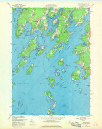
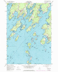
Editions of this 1955 Friendship Map
3 editions found
Other maps of this area

1904 · Monhegan
USGS Topo · 1:62,500

1904 · Tenants Harbor
USGS Topo · 1:62,500

1904 · Rockland
USGS Topo · 1:62,500

1906 · Tennant Harbor
USGS Topo · 1:62,500

1906 · Monhegan
USGS Topo · 1:62,500

1906 · Rockland
USGS Topo · 1:62,500

1913 · Waldoboro
USGS Topo · 1:48,000

1915 · Waldoboro
USGS Topo · 1:62,500

1941 · Rockland
USGS Topo · 1:62,500

1941 · Waldoboro
USGS Topo · 1:62,500