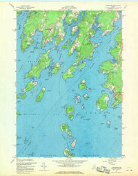
1955 Map of Friendship
USGS Topo · Published 1970About this map
Friendship serves as a focal point for this coastal mid-century survey, illustrating a landscape defined by intricate shorelines and a dense archipelago. The settlement pattern follows the narrow roads and sheltered inlets, with Port Clyde and Glenmere anchoring the eastern edge along the St George River. Maritime navigation and fishing industry signatures are prominent, from the U S Coast Guard Station at Marshall Pt to the various daybeacons and ledges marking Friendship Passage.
Find a feature on this map
115 named features on this map. Tap any name to fly to it.
Don’t see what you’re looking for? This feature index may not catch every label — zoom into the map to look around manually.
Map Details
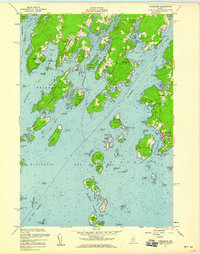
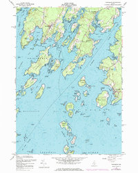
Editions of this 1955 Friendship Map
3 editions found
Other maps of this area

1904 · Monhegan
USGS Topo · 1:62,500

1904 · Tenants Harbor
USGS Topo · 1:62,500

1904 · Rockland
USGS Topo · 1:62,500

1906 · Tennant Harbor
USGS Topo · 1:62,500

1906 · Monhegan
USGS Topo · 1:62,500

1906 · Rockland
USGS Topo · 1:62,500

1913 · Waldoboro
USGS Topo · 1:48,000

1915 · Waldoboro
USGS Topo · 1:62,500

1941 · Rockland
USGS Topo · 1:62,500

1941 · Waldoboro
USGS Topo · 1:62,500