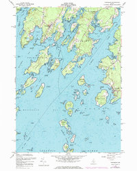
1955 Map of Friendship
USGS Topo · Published 1974About this map
The coastal village of Friendship serves as a central hub on this mid-century survey of the Maine shoreline, where the Meduncook River meets Friendship Bay. This map reveals a maritime landscape shaped by the granite and brine of the Atlantic, featuring the intricate guts and coves of the Cushing and Friendship peninsulas. Further east, the fishing community of Port Clyde sits at the tip of its own peninsula, protected by a prominent Coast Guard Station and the outer barrier of the Georges Islands. The geography recorded here is one of working waterfronts and secluded points, where family and community landmarks like the Wayside Cem, Harbor Cem, and the Town Hall anchor the small settlements. Significant islands including Cranberry Island, Thompson Island, and the outlying Franklin Island delineate the complex navigation of the Old Hump Channel and the St George River.
Find a feature on this map
117 named features on this map. Tap any name to fly to it.
Don’t see what you’re looking for? This feature index may not catch every label — zoom into the map to look around manually.
Map Details
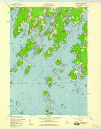
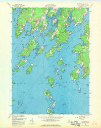
Editions of this 1955 Friendship Map
3 editions found
Other maps of this area

1904 · Monhegan
USGS Topo · 1:62,500

1904 · Tenants Harbor
USGS Topo · 1:62,500

1904 · Rockland
USGS Topo · 1:62,500

1906 · Tennant Harbor
USGS Topo · 1:62,500

1906 · Monhegan
USGS Topo · 1:62,500

1906 · Rockland
USGS Topo · 1:62,500

1913 · Waldoboro
USGS Topo · 1:48,000

1915 · Waldoboro
USGS Topo · 1:62,500

1941 · Rockland
USGS Topo · 1:62,500

1941 · Waldoboro
USGS Topo · 1:62,500