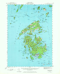
1941 Map of Vinalhaven
USGS Topo · Published 1970About this map
The Fox Islands of Penobscot Bay are captured here in detail just before the mid-20th century. The settlement of North Haven sits at the narrow Fox Islands Thoroughfare, while further south, the village of Vinalhaven anchors the community at Carvers Harbor. The map reveals a deeply indented coastline of coves and narrows, such as Pulpit Harbor and Leadbetter Narrows, defining a maritime landscape where land and water are inextricably linked.
Find a feature on this map
122 named features on this map. Tap any name to fly to it.
Don’t see what you’re looking for? This feature index may not catch every label — zoom into the map to look around manually.
Map Details
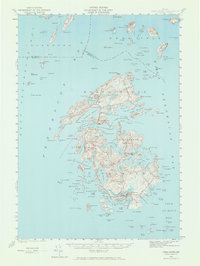
Editions of this 1941 Vinalhaven Map
3 editions found

Other maps of this area

1902 · Castine
USGS Topo · 1:62,500

1904 · Deer Isle
USGS Topo · 1:62,500

1904 · Castine
USGS Topo · 1:62,500

1904 · Bluehill
USGS Topo · 1:62,500

1904 · Vinalhaven
USGS Topo · 1:62,500

1904 · Tenants Harbor
USGS Topo · 1:62,500

1904 · Rockland
USGS Topo · 1:62,500

1905 · Penobscot Bay
USGS Topo · 1:125,000

1906 · Matinicus
USGS Topo · 1:62,500

1906 · Tennant Harbor
USGS Topo · 1:62,500