
1941 Map of Vinalhaven
USGS Topo · Published 1962About this map
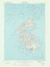
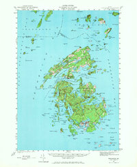
North Haven and the larger island of Vinalhaven dominate this mid-century coastal survey of Penobscot Bay, capturing the seafaring and quarrying landscape of the Fox Islands Thorofare before significant modern development. The map details a complex maritime environment where narrow passages like Leadbetter Narrows and The Basin break the granite coastline. Settlement patterns are concentrated around sheltered anchorages, with notable features such as Pulpit Harbor Cem and Seaview Cem providing touchpoints for local genealogy. To the south, the granite-quarrying history of Hurricane Island is preserved in its mapped footprint. Navigational landmarks essential to the bay's commerce, including Goose Rocks L H and Browns Head L H, stand as sentinels over the water. Topographical details such as Isle au Haut Mtn and Coombs Hill reveal the varied elevations that define these island interiors.
Find a feature on this map
97 named features on this map. Tap any name to fly to it.
Don’t see what you’re looking for? This feature index may not catch every label — zoom into the map to look around manually.
Map Details
Editions of this 1941 Vinalhaven Map
3 editions found
Other maps of this area

1902 · Castine
USGS Topo · 1:62,500

1904 · Deer Isle
USGS Topo · 1:62,500

1904 · Castine
USGS Topo · 1:62,500

1904 · Bluehill
USGS Topo · 1:62,500

1904 · Vinalhaven
USGS Topo · 1:62,500

1904 · Tenants Harbor
USGS Topo · 1:62,500

1904 · Rockland
USGS Topo · 1:62,500

1905 · Penobscot Bay
USGS Topo · 1:125,000

1906 · Matinicus
USGS Topo · 1:62,500

1906 · Tennant Harbor
USGS Topo · 1:62,500