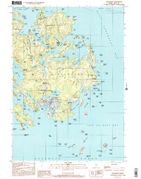
2000 Map of Vinalhaven
USGS Topo · Published 2001About this map
Vinalhaven serves as the focal point of this coastal Maine survey, where the rugged island geography meets a long history of maritime and industrial activity. The landscape is defined by its deep granite roots, evidenced by several significant features such as Lawson Quarry Pond and Booth Quarry Pond, which mark the era of the island's famous stone industry. These inland quarries are surrounded by family-named landmarks and cemeteries, including Cummins Cem and Roberts Cem, providing valuable touchpoints for genealogical research.
Find a feature on this map
158 named features on this map. Tap any name to fly to it.
Don’t see what you’re looking for? This feature index may not catch every label — zoom into the map to look around manually.
Map Details
Editions of this 2000 Vinalhaven Map
This is the sole edition of this map. No revisions or reprints were ever made.
Other maps of this area

1904 · Deer Isle
USGS Topo · 1:62,500

1904 · Vinalhaven
USGS Topo · 1:62,500

1905 · Penobscot Bay
USGS Topo · 1:125,000

1906 · Matinicus
USGS Topo · 1:62,500

1941 · Vinalhaven
USGS Topo · 1:62,500

1942 · Deer Isle
USGS Topo · 1:62,500

1944 · Vinalhaven
USGS Topo · 1:62,500

1944 · Deer Isle
USGS Topo · 1:62,500

1948 · Bangor
USGS Topo · 1:250,000

1948 · Bath
USGS Topo · 1:250,000