
1942 Map of Deer Isle
USGS Topo · Published 1958About this map
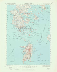
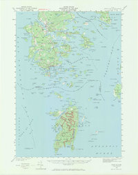
Stonington serves as the hub of this coastal survey, where a dense network of Quarries along the southern shoreline of Deer Isle points to the area's prominent granite industry during the early 1940s. The archipelago is defined by the navigable waters of Eggemoggin Reach to the north and the complex island passage of Merchant Row to the south. Small coastal villages such as Sunset, Sunshine, and Oceanville are connected by State Route 15, while interior landmarks like Holt Pond and Barredland Pond provide fresh water resources away from the salt spray. Further south, the isolated settlement of Isle au Haut sits amidst a cluster of smaller islands, including Harbor I and Wheat I, showing the intricate maritime geography of the Penobscot Bay region. This survey records the landscape before mid-century modernization, preserving the locations of family-named points like Conary Head and Greenlaw Neck.
Find a feature on this map
210 named features on this map. Tap any name to fly to it.
Don’t see what you’re looking for? This feature index may not catch every label — zoom into the map to look around manually.
Map Details
Editions of this 1942 Deer Isle Map
3 editions found
Other maps of this area

1902 · Castine
USGS Topo · 1:62,500

1904 · Deer Isle
USGS Topo · 1:62,500

1904 · Castine
USGS Topo · 1:62,500

1904 · Mount Desert
USGS Topo · 1:62,500

1904 · Swan Island
USGS Topo · 1:62,500

1904 · Bluehill
USGS Topo · 1:62,500

1904 · Vinalhaven
USGS Topo · 1:62,500

1905 · Penobscot Bay
USGS Topo · 1:125,000

1906 · Matinicus
USGS Topo · 1:62,500

1941 · Castine
USGS Topo · 1:62,500