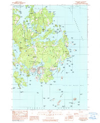
1982 Map of Vinalhaven
USGS Topo · Published 1990About this map
The coastal village of Vinalhaven serves as the hub of this island survey, centered on the intricate shoreline of Carvers Harbor. The landscape reflects a history of stone extraction, evidenced by Lawson Quarry Pond and Booth Quarry Pond, alongside several Gravel Pits that dot the interior. Settlement patterns are focused around the southern harbors and along established routes like North Haven Road and the Pequot Road.
Find a feature on this map
156 named features on this map. Tap any name to fly to it.
Don’t see what you’re looking for? This feature index may not catch every label — zoom into the map to look around manually.
Map Details
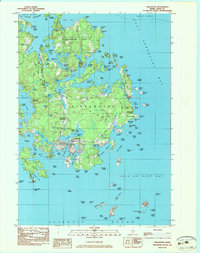
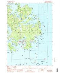
Editions of this 1982 Vinalhaven Map
3 editions found
Other maps of this area

1904 · Deer Isle
USGS Topo · 1:62,500

1904 · Vinalhaven
USGS Topo · 1:62,500

1905 · Penobscot Bay
USGS Topo · 1:125,000

1906 · Matinicus
USGS Topo · 1:62,500

1941 · Vinalhaven
USGS Topo · 1:62,500

1942 · Deer Isle
USGS Topo · 1:62,500

1944 · Vinalhaven
USGS Topo · 1:62,500

1944 · Deer Isle
USGS Topo · 1:62,500

1948 · Bangor
USGS Topo · 1:250,000

1948 · Bath
USGS Topo · 1:250,000