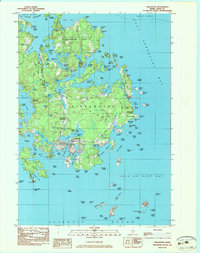
1982 Map of Vinalhaven
USGS Topo · Published 1983About this map
Vinalhaven serves as the central hub for this island landscape, where the granite industry and maritime commerce left a permanent mark on the terrain. Evidence of the island’s extractive history is visible at Lawson Quarry Pond and Booth Quarry Pond, while the village itself is anchored by local landmarks like the Lighthouse and the Pumping Sta. The intricate coastline is defined by features such as Winter Harbor and Coombs Neck, connected to the interior via Stepping Stone Road and the Carrying Place Bridge. Genealogists will find several burial grounds across the island, including Hill Cem, Cummins Cem, and Roberts Cem. The map illustrates a complex network of waterways, from the narrow Mill River to the broad Fox Islands Thoroughfare, which separates the island from North Haven to the north.
Find a feature on this map
144 named features on this map. Tap any name to fly to it.
Don’t see what you’re looking for? This feature index may not catch every label — zoom into the map to look around manually.
Map Details
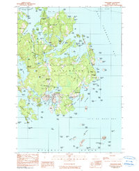
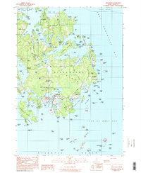
Editions of this 1982 Vinalhaven Map
3 editions found
Other maps of this area

1904 · Deer Isle
USGS Topo · 1:62,500

1904 · Vinalhaven
USGS Topo · 1:62,500

1905 · Penobscot Bay
USGS Topo · 1:125,000

1906 · Matinicus
USGS Topo · 1:62,500

1941 · Vinalhaven
USGS Topo · 1:62,500

1942 · Deer Isle
USGS Topo · 1:62,500

1944 · Vinalhaven
USGS Topo · 1:62,500

1944 · Deer Isle
USGS Topo · 1:62,500

1948 · Bangor
USGS Topo · 1:250,000

1948 · Bath
USGS Topo · 1:250,000