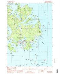
1982 Map of Vinalhaven
USGS Topo · Published 1990About this map
Vinalhaven is the central hub of this island study, revealing a landscape deeply influenced by its granite-quarrying past and maritime orientation. The island's industrial heritage is clearly visible in the presence of Booth Quarry Pond and Lawson Quarry Pond, sites that helped build cities along the Atlantic coast. The settlement pattern follows the intricate coastline of Calderwood Neck and Coombs Neck, where small family burial grounds like Cummins Cem and Roberts Cem reflect generations of local residency. Navigation remains central to the area's identity, anchored by the Lighthouse at the southern tip and sheltered waters such as Carvers Harbor and Winter Harbor. From the granite pits to the fishing reaches, the map captures the transition of a rugged island economy during the late twentieth century.
Find a feature on this map
142 named features on this map. Tap any name to fly to it.
Don’t see what you’re looking for? This feature index may not catch every label — zoom into the map to look around manually.
Map Details
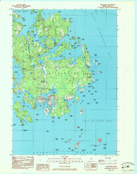
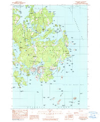
Editions of this 1982 Vinalhaven Map
3 editions found
Other maps of this area

1904 · Deer Isle
USGS Topo · 1:62,500

1904 · Vinalhaven
USGS Topo · 1:62,500

1905 · Penobscot Bay
USGS Topo · 1:125,000

1906 · Matinicus
USGS Topo · 1:62,500

1941 · Vinalhaven
USGS Topo · 1:62,500

1942 · Deer Isle
USGS Topo · 1:62,500

1944 · Vinalhaven
USGS Topo · 1:62,500

1944 · Deer Isle
USGS Topo · 1:62,500

1948 · Bangor
USGS Topo · 1:250,000

1948 · Bath
USGS Topo · 1:250,000