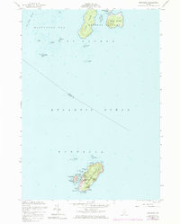
1955 Map of Monhegan
USGS Topo · Published 1983About this map
Monhegan Island serves as the focal point of this maritime survey, illustrating the isolated community and nautical infrastructure of this famous coastal outpost. The settlement of Monhegan is concentrated on the western shore, sheltered by the adjacent Manana Island and the smaller Smutty Nose Island. This natural anchorage, known as Monhegan Harbor, was essential for the local fishing economy and is marked by a prominent Lighthouse and a U S Coast Guard Reservation. To the north, the Georges Islands group includes Allen Island and Burnt Island, separated by wide stretches of the Atlantic Ocean. The topography of the main island is defined by dramatic coastal features like Black Head and White Head, rising steeply from the sea, while smaller coves like Lobster Cove and Christmas Cove indent the southern shoreline.
Find a feature on this map
38 named features on this map. Tap any name to fly to it.
Don’t see what you’re looking for? This feature index may not catch every label — zoom into the map to look around manually.
Map Details
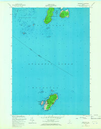
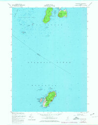
Editions of this 1955 Monhegan Map
4 editions found
Other maps of this area

1904 · Monhegan
USGS Topo · 1:62,500

1904 · Tenants Harbor
USGS Topo · 1:62,500

1906 · Tennant Harbor
USGS Topo · 1:62,500

1906 · Monhegan
USGS Topo · 1:62,500

1948 · Bath
USGS Topo · 1:250,000
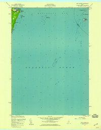
1955 · New Harbor
USGS Topo · 1:24,000
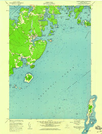
1955 · Tenants Harbor
USGS Topo · 1:24,000
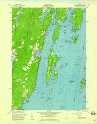
1955 · Louds Island
USGS Topo · 1:24,000
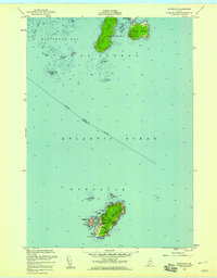
1955 · Monhegan
USGS Topo · 1:24,000
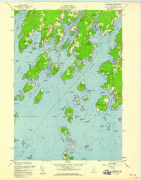
1955 · Friendship
USGS Topo · 1:24,000
Featured Places
- Bristol, ME
- Saint George, ME
- Friendship, ME
- Monhegan, Monhegan Island Plantation
- Monhegan Island Plantation, ME