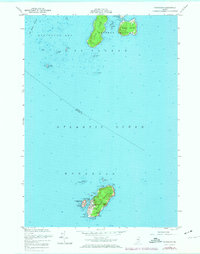
1955 Map of Monhegan
USGS Topo · Published 1974About this map
Monhegan Island and the neighboring Georges Islands define this mid-century maritime landscape, showing the isolated community of Monhegan at a time when traditional navigation remained central to coastal life. The map details a rugged perimeter of coastal landmarks, from the towering heights of Black Head and White Head to the vital Lighthouse and U S Coast Guard Station on Burnt Island. The protected waters of Monhegan Harbor, tucked between the main island and Manana Island, serve as the focal point for the local settlement. Beyond the inhabited areas, the survey documents numerous hazardous features like Wash Ledge and Harpoon Ledge, alongside local geographic markers such as Smutty Nose Island and Lobster Cove. These details reflect a landscape shaped by the Atlantic, where safe passage depended on the careful charting of every cove and rocky outcrop.
Find a feature on this map
35 named features on this map. Tap any name to fly to it.
Don’t see what you’re looking for? This feature index may not catch every label — zoom into the map to look around manually.
Map Details
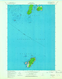
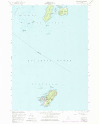
Editions of this 1955 Monhegan Map
4 editions found
Other maps of this area

1904 · Monhegan
USGS Topo · 1:62,500

1904 · Tenants Harbor
USGS Topo · 1:62,500

1906 · Tennant Harbor
USGS Topo · 1:62,500

1906 · Monhegan
USGS Topo · 1:62,500

1948 · Bath
USGS Topo · 1:250,000
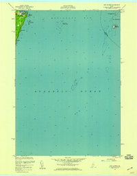
1955 · New Harbor
USGS Topo · 1:24,000
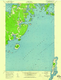
1955 · Tenants Harbor
USGS Topo · 1:24,000
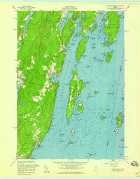
1955 · Louds Island
USGS Topo · 1:24,000
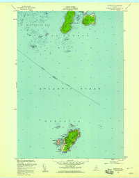
1955 · Monhegan
USGS Topo · 1:24,000
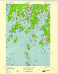
1955 · Friendship
USGS Topo · 1:24,000
Featured Places
- Bristol, ME
- Saint George, ME
- Friendship, ME
- Monhegan, Monhegan Island Plantation
- Monhegan Island Plantation, ME