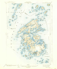
1904 Map of Vinalhaven
USGS Topo · Published 1938About this map
Vinalhaven and North Haven dominate this maritime survey of the Fox Islands, showing the intricate granite coastline and island clusters at the turn of the century. The map details a landscape defined by the sea, with a established Steamboat Route connecting these isolated island communities to the mainland across West Penobscot Bay. While the interior of the islands features high points like Coombs Hill, the settlement pattern is strictly coastal, concentrated around natural protected anchorages like Southern Harbor and Roberts Harbor. Local industry is visible through the infrastructure on Hurricane Island, which at this time was a significant granite quarrying center. The survey captures the complex navigation of the Maine coast, mapping every ledge and passage, from the wide Au Haut Bay to the narrow Fox Islands Thoroughfare that separates the two primary islands.
Find a feature on this map
143 named features on this map. Tap any name to fly to it.
Don’t see what you’re looking for? This feature index may not catch every label — zoom into the map to look around manually.
Map Details
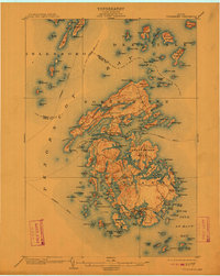
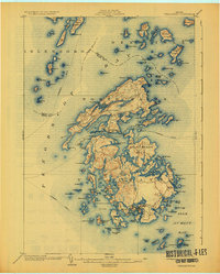
Editions of this 1904 Vinalhaven Map
4 editions found
Other maps of this area

1902 · Castine
USGS Topo · 1:62,500

1904 · Deer Isle
USGS Topo · 1:62,500

1904 · Castine
USGS Topo · 1:62,500

1904 · Bluehill
USGS Topo · 1:62,500

1904 · Vinalhaven
USGS Topo · 1:62,500

1904 · Tenants Harbor
USGS Topo · 1:62,500

1904 · Rockland
USGS Topo · 1:62,500

1905 · Penobscot Bay
USGS Topo · 1:125,000

1906 · Matinicus
USGS Topo · 1:62,500

1906 · Tennant Harbor
USGS Topo · 1:62,500