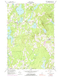
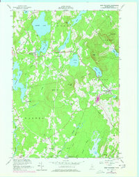
1955 Map of West Rockport
USGS Topo · Published 1991About this map
Alford Lake and Crawford Pond anchor a landscape defined by glacial ponds and rocky heights in this mid-century survey of the Maine interior. The settlement of South Hope sits at a critical junction of local roads, while further west, the village of East Union overlooks the waters of Lermond Pond. This era shows a transition from traditional water-powered industry toward modern infrastructure, as evidenced by the site of Wattons Mill and the emergence of institutional landmarks like Goulds Hospital.
Find a feature on this map
53 named features on this map. Tap any name to fly to it.
Don’t see what you’re looking for? This feature index may not catch every label — zoom into the map to look around manually.
Map Details
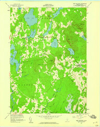
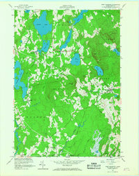
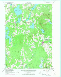
Editions of this 1955 West Rockport Map
5 editions found
Other maps of this area

1904 · Rockland
USGS Topo · 1:62,500

1906 · Rockland
USGS Topo · 1:62,500

1913 · Waldoboro
USGS Topo · 1:48,000

1915 · Waldoboro
USGS Topo · 1:62,500

1915 · Belfast
USGS Topo · 1:62,500

1916 · Liberty
USGS Topo · 1:62,500

1917 · Belfast
USGS Topo · 1:62,500

1941 · Belfast
USGS Topo · 1:62,500

1941 · Rockland
USGS Topo · 1:62,500

1941 · Waldoboro
USGS Topo · 1:62,500