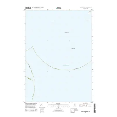
2014 Map of Tenants Harbor OE S
USGS Topo · Published 2014About this map
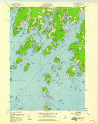
Metinic Island and its smaller neighbor, Metinic Green Island, sit at the northern edge of this coastal survey, which is dominated by the open waters of the Atlantic Ocean. The map documents a maritime landscape defined by hazardous seafloor features and the political boundaries of Maine that bisect the sea. Significant nautical landmarks such as Roaring Bull, Southeast Breaker, and Haddock Ledge identify submerged and partially exposed rocks critical for local navigation. The intersection of Knox and Lincoln counties meets in these waters, illustrating how administrative jurisdictions extend into the sea. This edition reflects the area as it was recorded by the U.S. Geological Survey in the early 21st century, focusing on the isolated island landmasses and the treacherous underwater topography that characterizes this portion of the Maine coastline.
Find a feature on this map
10 named features on this map. Tap any name to fly to it.
Don’t see what you’re looking for? This feature index may not catch every label — zoom into the map to look around manually.
Map Details
Editions of this 2014 Tenants Harbor OE S Map
This is the sole edition of this map. No revisions or reprints were ever made.
Other maps of this area

1904 · Monhegan
USGS Topo · 1:62,500

1904 · Tenants Harbor
USGS Topo · 1:62,500

1906 · Tennant Harbor
USGS Topo · 1:62,500

1906 · Monhegan
USGS Topo · 1:62,500

1948 · Bath
USGS Topo · 1:250,000
1955 · Hewett Island
USGS Topo · 1:24,000
1955 · Tenants Harbor
USGS Topo · 1:24,000
1955 · Monhegan
USGS Topo · 1:24,000
1955 · Friendship
USGS Topo · 1:24,000

1956 · Bath
USGS Topo · 1:250,000