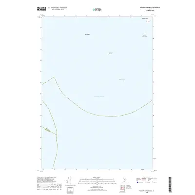
2018 Map of Tenants Harbor OE S
USGS Topo · Published 2018About this map
Metinic Island stands as a prominent point in the far northeast corner of this coastal survey, where the terrestrial world meets the vast Atlantic Ocean. The map documents a maritime environment defined by subsurface hazards and small outcroppings that characterize this stretch of the Maine coastline. Named features such as Roaring Bull, Southeast Breaker, and Haddock Ledge identify critical navigation points for those working these waters. Along with Metinic Green Island, these features represent the only land and named maritime landmarks in an area dominated by open sea. The boundary line between Knox and Lincoln counties cuts through the southwestern portion of the sheet, providing a precise record of the administrative divide as it existed in 2018.
Find a feature on this map
7 named features on this map. Tap any name to fly to it.
Don’t see what you’re looking for? This feature index may not catch every label — zoom into the map to look around manually.
Map Details
Editions of this 2018 Tenants Harbor OE S Map
This is the sole edition of this map. No revisions or reprints were ever made.
Other maps of this area
1904 · Monhegan
USGS Topo · 1:62,500
1904 · Tenants Harbor
USGS Topo · 1:62,500
1906 · Tennant Harbor
USGS Topo · 1:62,500
1906 · Monhegan
USGS Topo · 1:62,500
1948 · Bath
USGS Topo · 1:250,000
1955 · Hewett Island
USGS Topo · 1:24,000
1955 · Tenants Harbor
USGS Topo · 1:24,000
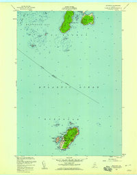
1955 · Monhegan
USGS Topo · 1:24,000
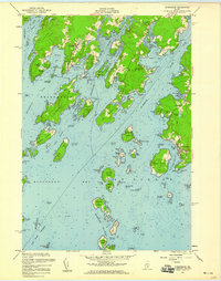
1955 · Friendship
USGS Topo · 1:24,000
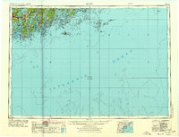
1956 · Bath
USGS Topo · 1:250,000