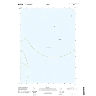
2021 Map of Tenants Harbor OE S
USGS Topo · Published 2021About this map
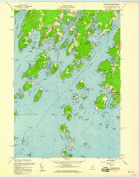
Metinic Island stands as the primary terrestrial landmark in this maritime survey off the coast of Maine. The map focuses on the waters of the Atlantic Ocean, revealing the submerged hazards and rocky outcroppings that define this stretch of the Atlantic. To the south of the main island, Metinic Green Island appears as a smaller sister landmass, while the surrounding sea is marked by dangerous navigational features such as Roaring Bull, Southeast Breaker, and Haddock Ledge. These labels reflect the traditional naming conventions of coastal mariners, identifying specific points where the sea breaks over shallow rocks. The sparse nature of the land emphasizes the isolation of these offshore features, which have long served as critical markers for local fishermen and sailors navigating the approaches to the Maine coastline.
Find a feature on this map
6 named features on this map. Tap any name to fly to it.
Don’t see what you’re looking for? This feature index may not catch every label — zoom into the map to look around manually.
Map Details
Editions of this 2021 Tenants Harbor OE S Map
This is the sole edition of this map. No revisions or reprints were ever made.
Other maps of this area

1904 · Monhegan
USGS Topo · 1:62,500

1904 · Tenants Harbor
USGS Topo · 1:62,500

1906 · Tennant Harbor
USGS Topo · 1:62,500

1906 · Monhegan
USGS Topo · 1:62,500

1948 · Bath
USGS Topo · 1:250,000
1955 · Hewett Island
USGS Topo · 1:24,000
1955 · Tenants Harbor
USGS Topo · 1:24,000
1955 · Monhegan
USGS Topo · 1:24,000
1955 · Friendship
USGS Topo · 1:24,000

1956 · Bath
USGS Topo · 1:250,000