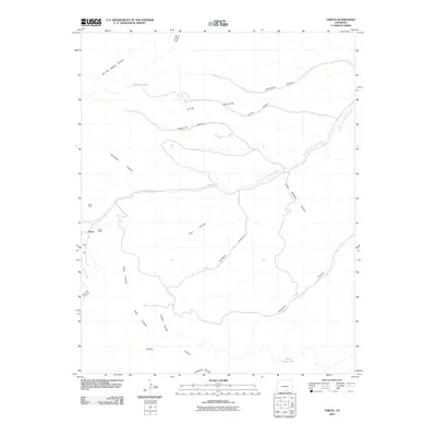
2010 Map of Tercio
USGS Topo · Published 2010About this map
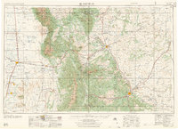
Tercio is the primary settlement on this landscape, positioned where the high-altitude terrain of the Ute Hills meets the headwaters of the South Fork Purgatoire River. The drainage pattern is the dominant feature of this area, with an intricate network of deep-cut drainages such as Left Fork Apache Canyon and Bingham Canyon feeding into the main river system. The presence of the Tercio Mine and Vega Mine near the townsite points to the area's industrial legacy, while water sources like Bingham Lake and Dead Horse Lake punctuate the arid environment. Numerous named canyons, including Lorencito Canyon and Potato Canyon, illustrate the complex erosion patterns that define this section of Las Animas County.
Find a feature on this map
25 named features on this map. Tap any name to fly to it.
Don’t see what you’re looking for? This feature index may not catch every label — zoom into the map to look around manually.
Map Details
Editions of this 2010 Tercio Map
This is the sole edition of this map. No revisions or reprints were ever made.
Other maps of this area
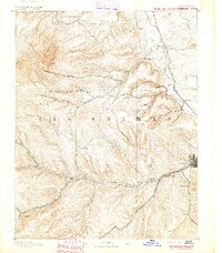
1891 · Spanish Peaks
USGS Topo · 1:125,000
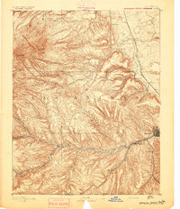
1893 · Spanish Peaks
USGS Topo · 1:125,000
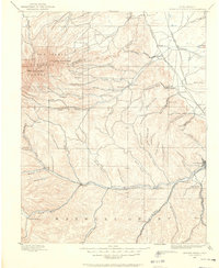
1895 · Spanish Peaks
USGS Topo · 1:125,000
1897 · Spanish Peaks
USGS Topo · 1:125,000
1900 · Spanish Peaks
USGS Topo · 1:125,000

1954 · Raton
USGS Topo · 1:250,000
1954 · Trinidad
USGS Topo · 1:250,000
1955 · Trinidad
USGS Topo · 1:250,000

1958 · Raton
USGS Topo · 1:250,000
1958 · Trinidad
USGS Topo · 1:250,000