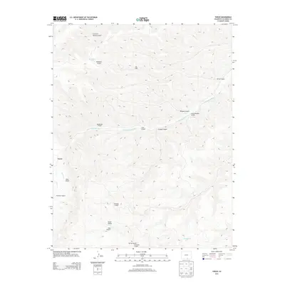
2013 Map of Tercio
USGS Topo · Published 2013About this map
Tercio sits at the heart of this high-elevation landscape in Las Animas County, where the S Fork Purgatoire River carves a central path through a complex system of drainage and relief. The topography is defined by dozens of named canyons, such as Mine Canyon, Fivemile Canyon, and Bandarito Canyon, which point to a history of resource extraction and local nomenclature. Water management is evident through features like the Quattro Ditch, while natural high points including the Ute Hills overlook the narrow valleys below.
Find a feature on this map
22 named features on this map. Tap any name to fly to it.
Don’t see what you’re looking for? This feature index may not catch every label — zoom into the map to look around manually.
Map Details
Editions of this 2013 Tercio Map
This is the sole edition of this map. No revisions or reprints were ever made.
Other maps of this area

1891 · Spanish Peaks
USGS Topo · 1:125,000

1893 · Spanish Peaks
USGS Topo · 1:125,000

1895 · Spanish Peaks
USGS Topo · 1:125,000

1897 · Spanish Peaks
USGS Topo · 1:125,000

1900 · Spanish Peaks
USGS Topo · 1:125,000

1954 · Raton
USGS Topo · 1:250,000

1954 · Trinidad
USGS Topo · 1:250,000

1955 · Trinidad
USGS Topo · 1:250,000

1958 · Raton
USGS Topo · 1:250,000

1958 · Trinidad
USGS Topo · 1:250,000