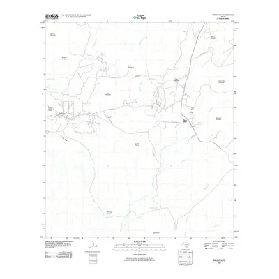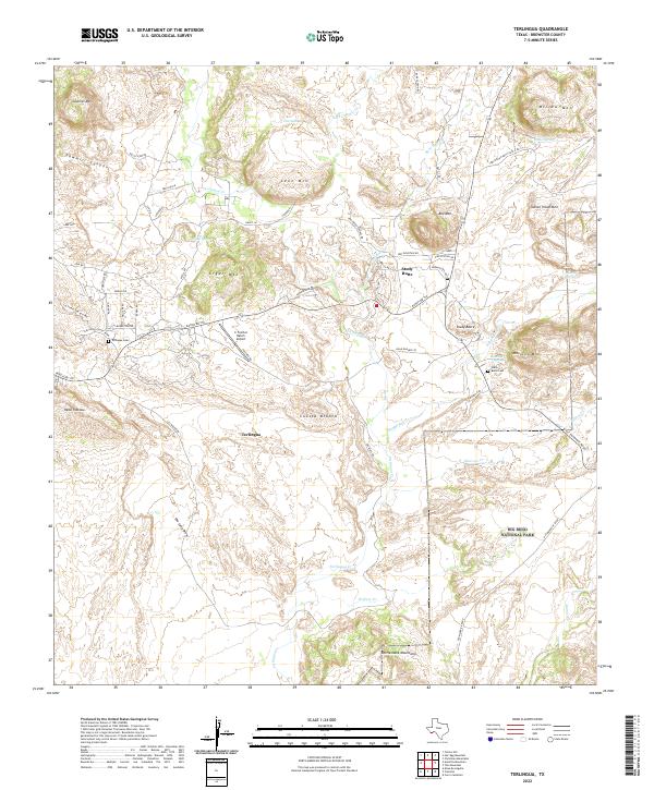
2022 Map of Terlingua
USGS Topo · Published 2022About this map
Terlingua Ghost Town and the neighboring settlement of Study Butte define this arid landscape in Brewster County, where the desert floor meets the rising peaks of the Chisos foothills. The intricate network of drainage systems, including The Long Draw, Rough Run, and Terlingua Cr, reveals the erosional history of a region defined by its geological scarcity. The map records several family-named landmarks and historical sites such as Terlingua Cem and Study Butte Cem, which serve as quiet markers of the community's longevity in a challenging environment.
Find a feature on this map
62 named features on this map. Tap any name to fly to it.
Don’t see what you’re looking for? This feature index may not catch every label — zoom into the map to look around manually.
Map Details
Editions of this 2022 Terlingua Map
This is the sole edition of this map. No revisions or reprints were ever made.
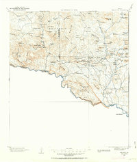
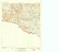
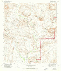
Historical Maps of Study Butte Through Time
8 maps found