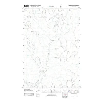
2011 Map of Termination Point
USGS Topo · Published 2011About this map
Wind River carves a deep path through this section of the Gifford Pinchot National Forest, serving as the central drainage for numerous tributaries including Paradise Creek, Oldman Creek, and Ninemile Creek. The landscape is defined by a series of prominent volcanic features such as Lava Butte, North Butte, and South Butte, alongside the high elevation of Termination Point. Resource extraction and federal land management are visible through the inclusion of the Wind River Mine and the Carson National Fish Hatchery in the southern reaches.
Find a feature on this map
40 named features on this map. Tap any name to fly to it.
Don’t see what you’re looking for? This feature index may not catch every label — zoom into the map to look around manually.
Map Details
Editions of this 2011 Termination Point Map
This is the sole edition of this map. No revisions or reprints were ever made.
Other maps of this area

1919 · Mount St Helens
USGS Topo · 1:125,000

1926 · Steamboat Mtn
USGS Topo · 1:125,000

1926 · Hood River
USGS Topo · 1:125,000

1929 · Hood River
USGS Topo · 1:125,000

1931 · Steamboat Mtn
USGS Topo · 1:125,000

1940 · Lookout Mtn
USGS Topo · 1:62,500

1948 · Vancouver
USGS Topo · 1:250,000

1950 · Vancouver
USGS Topo · 1:250,000

1950 · Vancouver
USGS Topo · 1:250,000

1950 · Yakima
USGS Topo · 1:250,000