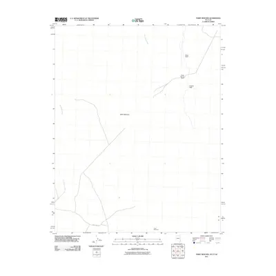
2011 Map of Terry Benches
USGS Topo · Published 2011About this map
Terry Benches dominates the landscape of this high desert region along the borders of Utah, Nevada, and Arizona in the early 21st century. The terrain is defined by a network of drainage systems including Snow Spring Wash and Sand Hollow Wash, which cut through the arid plateaus. A significant historical and surveying marker, the Initial Monument, is located near the southern boundary, signifying the importance of this area in the jurisdictional mapping of the American West. Human presence is sparse, represented primarily by the utility-oriented Phone Cable Rd that traverses the southern section. This map documents a remote environment where geological features like Burgess Wash and Reber Wash remain the primary landmarks for navigation and land management.
Find a feature on this map
7 named features on this map. Tap any name to fly to it.
Don’t see what you’re looking for? This feature index may not catch every label — zoom into the map to look around manually.
Map Details
Editions of this 2011 Terry Benches Map
This is the sole edition of this map. No revisions or reprints were ever made.
Other maps of this area

1885 · St. George
USGS Topo · 1:250,000

1885 · Pioche
USGS Topo · 1:250,000

1886 · Saint Thomas
USGS Topo · 1:250,000

1886 · Mt. Trumbull
USGS Topo · 1:250,000

1886 · Pioche
USGS Topo · 1:250,000

1891 · St. George
USGS Topo · 1:250,000

1892 · Mt. Trumbull
USGS Topo · 1:250,000

1893 · Saint Thomas
USGS Topo · 1:250,000

1953 · Cedar City
USGS Topo · 1:250,000

1953 · Grand Canyon
USGS Topo · 1:250,000