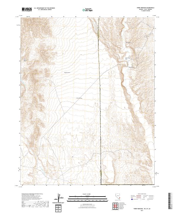
2021 Map of Terry Benches
USGS Topo · Published 2021About this map
The Terry Benches define this corner of the Mojave Desert along the high-desert borderlands of Nevada and Utah. This 2021 survey illustrates a landscape of complex drainage systems and arid plateaus, where the Tule Springs Hills rise to the northwest. The terrain is marked by seasonal watercourses like Snow Spring Wash and Reber Wash that cut through the eastern benches toward the state line. Settlement is sparse in this border region, with the only notable infrastructure being Lytle Ranch Rd threading through the northeast corner. Mapping of the Lincoln Co and Washington Co boundary provides a clear look at how political lines bisect these geographic features. The intersection of Burgess Wash and the benches reveals the natural erosion patterns typical of this portion of the Great Basin.
Find a feature on this map
10 named features on this map. Tap any name to fly to it.
Don’t see what you’re looking for? This feature index may not catch every label — zoom into the map to look around manually.
Map Details
Editions of this 2021 Terry Benches Map
This is the sole edition of this map. No revisions or reprints were ever made.
Other maps of this area

1885 · St. George
USGS Topo · 1:250,000

1885 · Pioche
USGS Topo · 1:250,000

1886 · Saint Thomas
USGS Topo · 1:250,000

1886 · Mt. Trumbull
USGS Topo · 1:250,000

1886 · Pioche
USGS Topo · 1:250,000

1891 · St. George
USGS Topo · 1:250,000

1892 · Mt. Trumbull
USGS Topo · 1:250,000

1893 · Saint Thomas
USGS Topo · 1:250,000

1953 · Cedar City
USGS Topo · 1:250,000

1953 · Grand Canyon
USGS Topo · 1:250,000