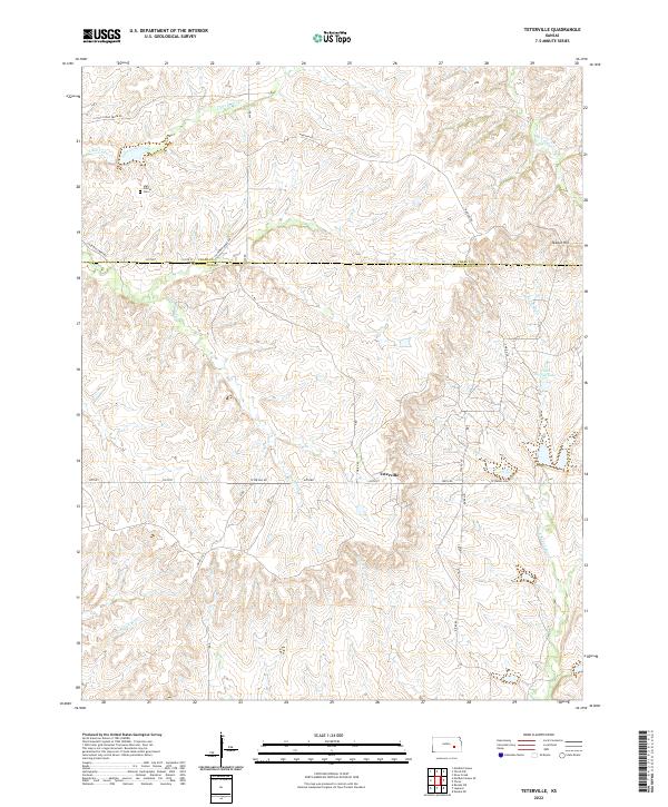
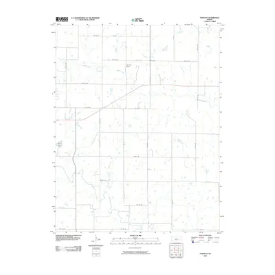
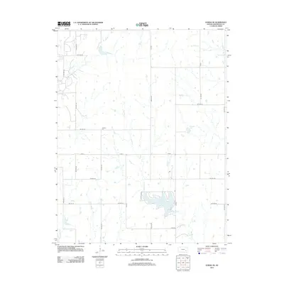
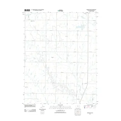
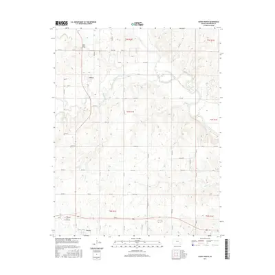
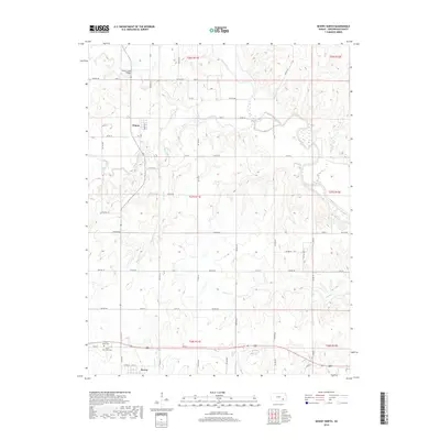
2022 Map of Teterville
USGS Topo · Published 2022About this map
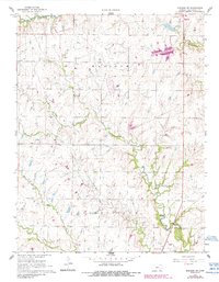
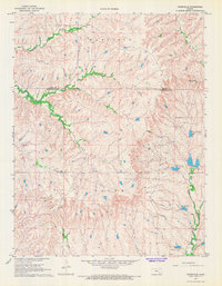
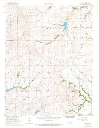
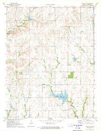
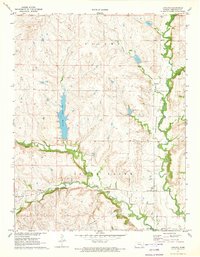
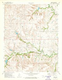
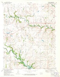
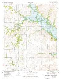
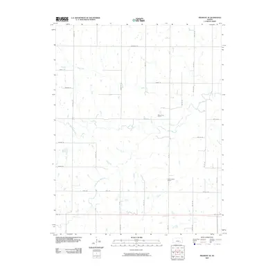
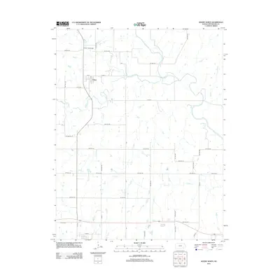
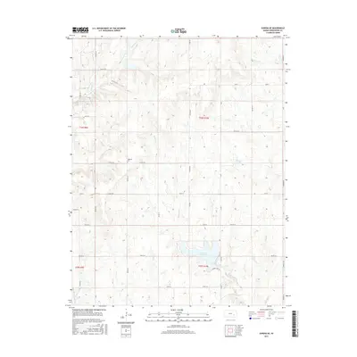
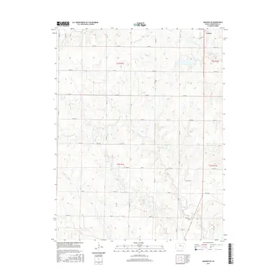
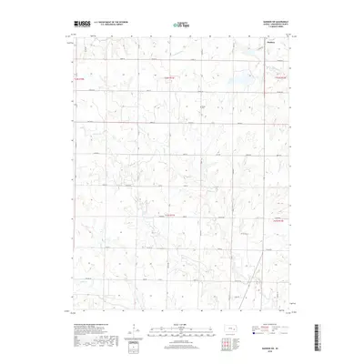
The community of Teterville sits amidst the drainage of the E Br Fall River and Thurman Cr, representing a landscape where petroleum exploration and agricultural history intersect. Names like Texaco Hill and Cities Service Lake reflect the industrial heritage of this portion of the Flint Hills, while the High Prairie Cem to the northwest stands as a record of early prairie settlement. This contemporary survey by the U.S. Geological Survey illustrates the headwaters of several key regional waterways, including the N Br Verdigris River and Little Cedar Cr. The terrain is marked by a network of rural routes such as Teter Hill Rd and Madison Rd, tracing the high ground between the river branches in both Chase and Greenwood counties.
Find a feature on this map
24 named features on this map. Tap any name to fly to it.
Don’t see what you’re looking for? This feature index may not catch every label — zoom into the map to look around manually.
Map Details
Editions of this 2022 Teterville Map
This is the sole edition of this map. No revisions or reprints were ever made.
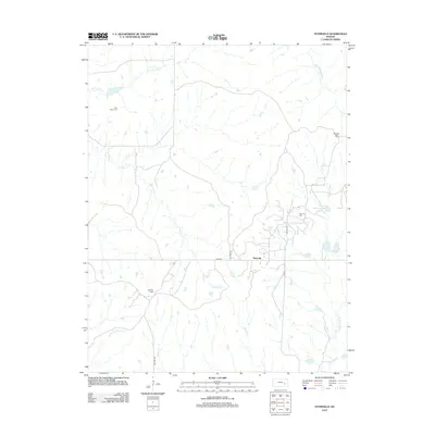
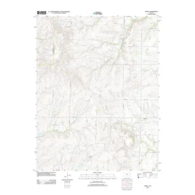
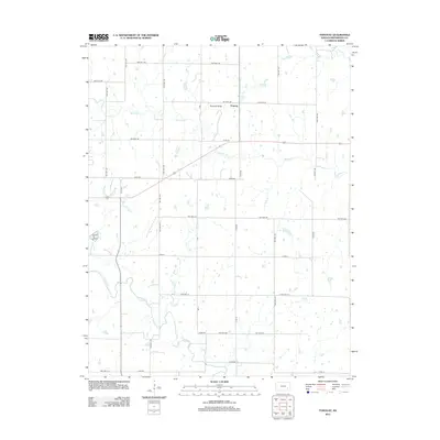
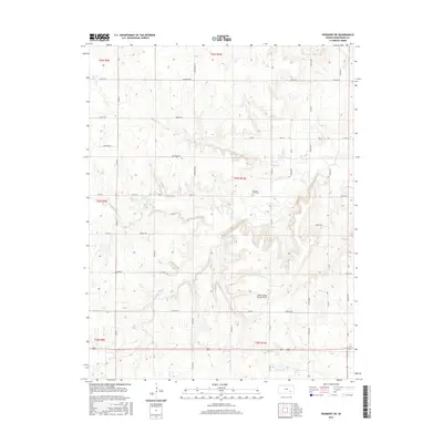
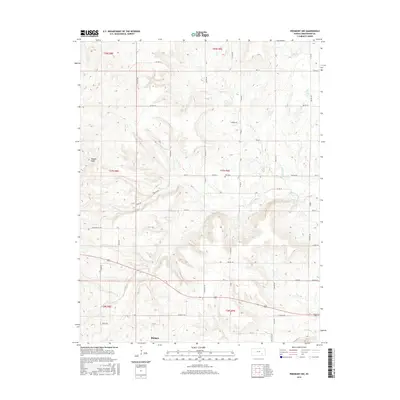
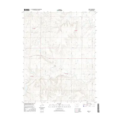
Historical Maps of Teterville Through Time
72 maps found
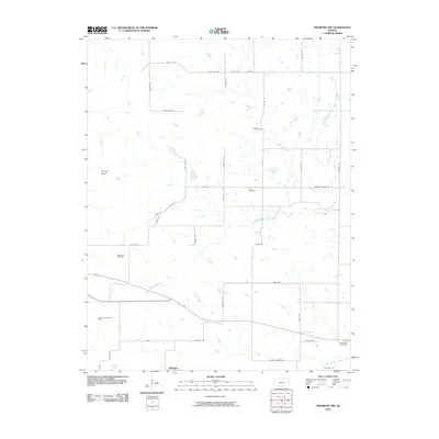
1964 Piedmont NE
Greenwood County, KS
1964 Piedmont NW
Greenwood County, KS
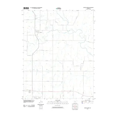
1967 Lamont
Greenwood County, KS
1967 Madison SW
Greenwood County, KS
1967 Teterville
Greenwood County, KS
1967 Thrall
Greenwood County, KS
1971 Eureka NE
Greenwood County, KS
1971 Lapland
Greenwood County, KS
1971 Reece
Greenwood County, KS
1971 Tonovay
Greenwood County, KS

1975 Fall River Lake
Greenwood County, KS
1975 Severy North
Greenwood County, KS
2009 Eureka NE
Greenwood County, KS
2009 Lamont
Greenwood County, KS
2009 Lapland
Greenwood County, KS
2009 Madison SW
Greenwood County, KS
2009 Piedmont NE
Greenwood County, KS
2009 Reece
Greenwood County, KS
2009 Teterville
Greenwood County, KS
2009 Thrall
Greenwood County, KS
2009 Tonovay
Greenwood County, KS
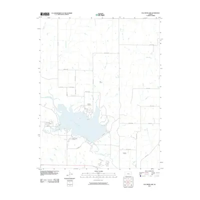
2010 Fall River Lake
Greenwood County, KS
2010 Piedmont NW
Greenwood County, KS
2010 Severy North
Greenwood County, KS
2012 Eureka NE
Greenwood County, KS
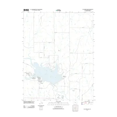
2012 Fall River Lake
Greenwood County, KS
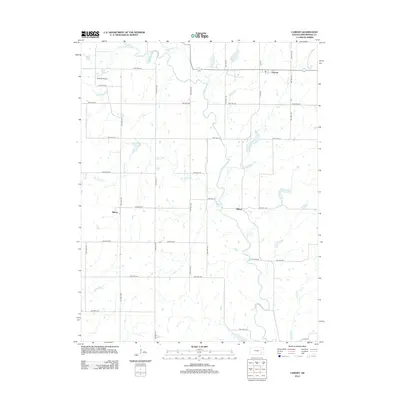
2012 Lamont
Greenwood County, KS
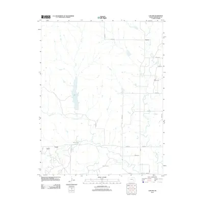
2012 Lapland
Greenwood County, KS
2012 Madison SW
Greenwood County, KS
2012 Piedmont NE
Greenwood County, KS
2012 Piedmont NW
Greenwood County, KS
2012 Reece
Greenwood County, KS
2012 Severy North
Greenwood County, KS
2012 Teterville
Greenwood County, KS
2012 Thrall
Greenwood County, KS
2012 Tonovay
Greenwood County, KS
2015 Eureka NE
Greenwood County, KS
2015 Fall River Lake
Greenwood County, KS
2015 Lamont
Greenwood County, KS
2015 Lapland
Greenwood County, KS
2015 Madison SW
Greenwood County, KS
2015 Piedmont NE
Greenwood County, KS
2015 Piedmont NW
Greenwood County, KS
2015 Reece
Greenwood County, KS
2015 Severy North
Greenwood County, KS
2015 Teterville
Greenwood County, KS
2015 Thrall
Greenwood County, KS
2015 Tonovay
Greenwood County, KS
2018 Eureka NE
Greenwood County, KS
2018 Fall River Lake
Greenwood County, KS
2018 Lamont
Greenwood County, KS
2018 Lapland
Greenwood County, KS
2018 Madison SW
Greenwood County, KS
2018 Piedmont NE
Greenwood County, KS
2018 Piedmont NW
Greenwood County, KS
2018 Reece
Greenwood County, KS
2018 Severy North
Greenwood County, KS
2018 Teterville
Greenwood County, KS
2018 Thrall
Greenwood County, KS
2018 Tonovay
Greenwood County, KS
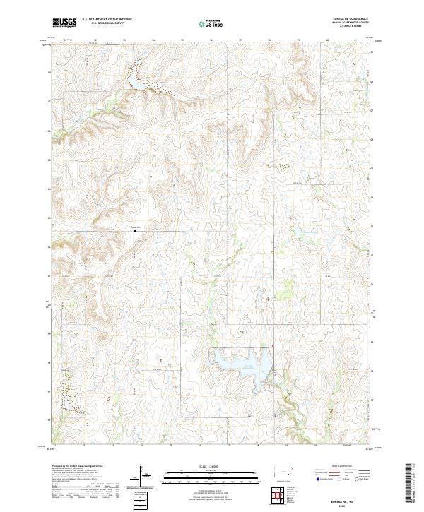
2022 Eureka NE
Greenwood County, KS
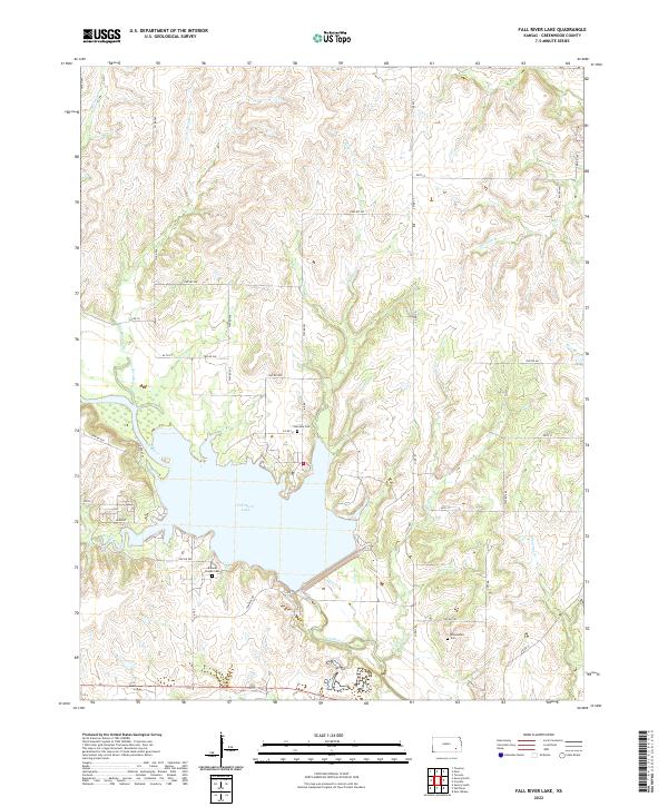
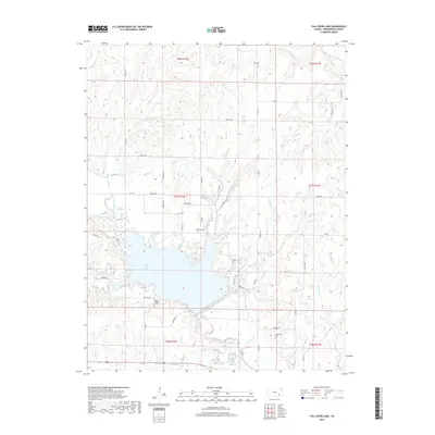
2022 Fall River Lake
Greenwood County, KS
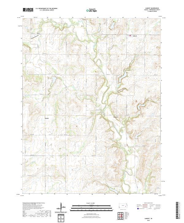
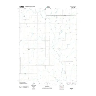
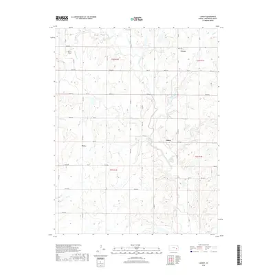
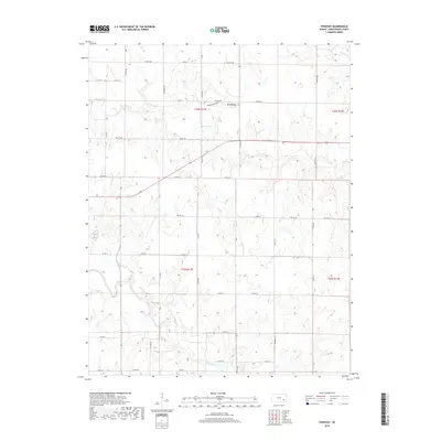
2022 Lamont
Greenwood County, KS
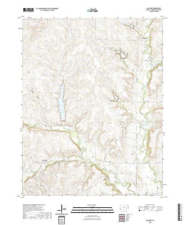
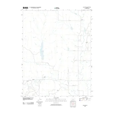
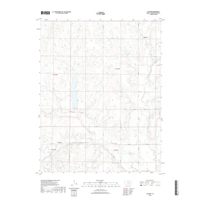
2022 Lapland
Greenwood County, KS
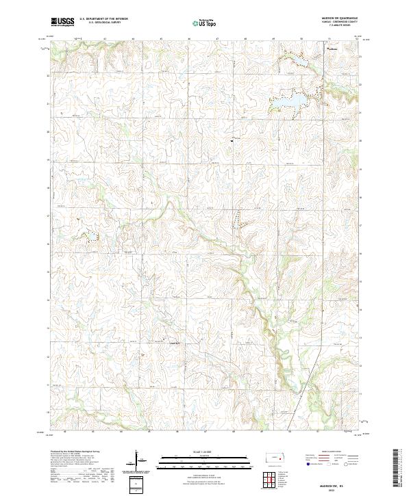
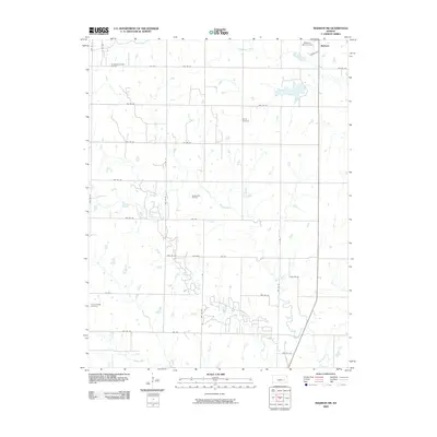
2022 Madison SW
Greenwood County, KS
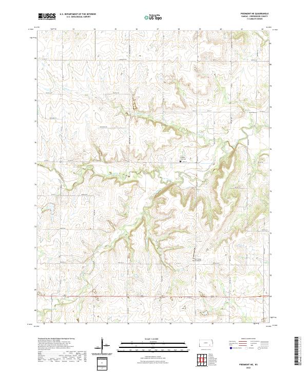
2022 Piedmont NE
Greenwood County, KS
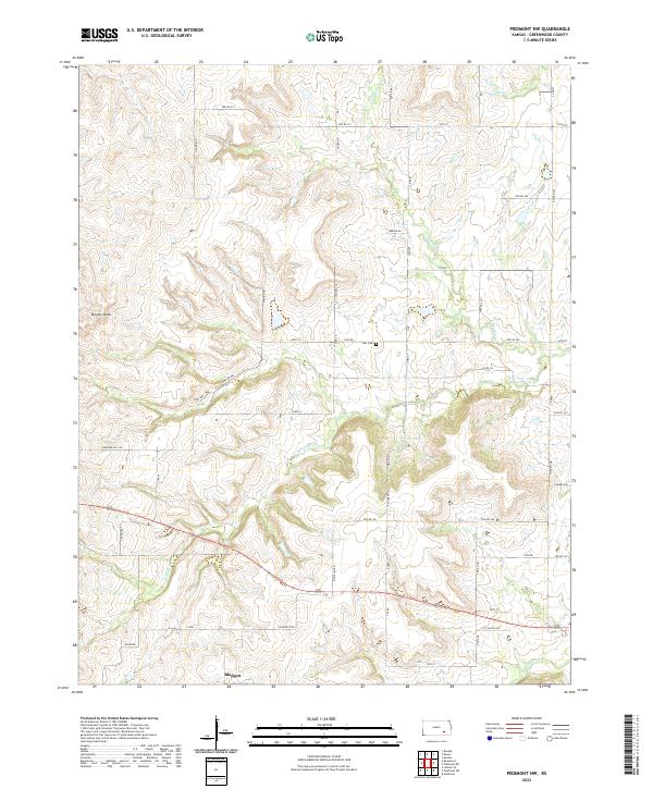
2022 Piedmont NW
Greenwood County, KS
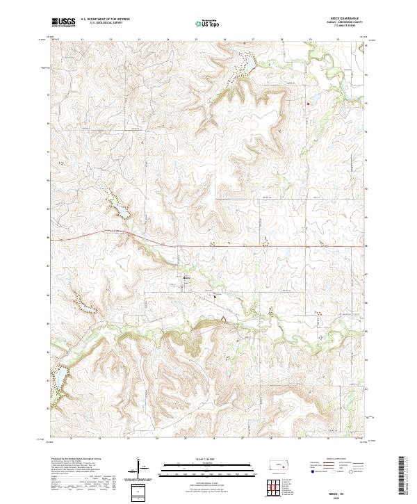
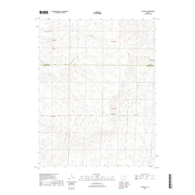
2022 Reece
Greenwood County, KS
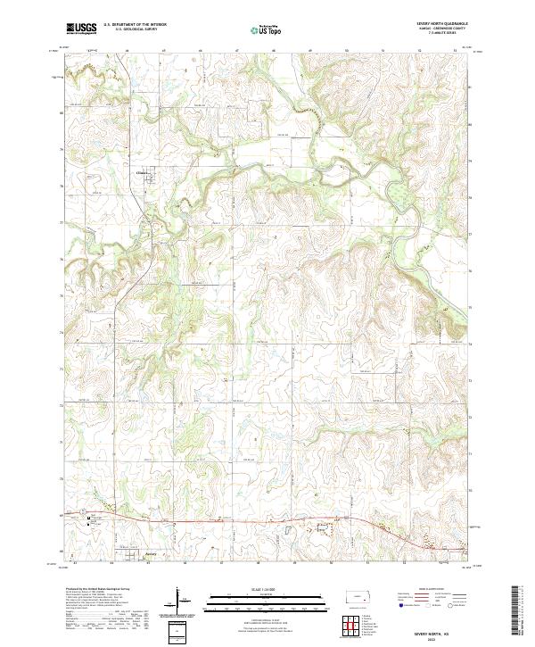
2022 Severy North
Greenwood County, KS
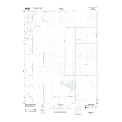
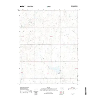
2022 Teterville
Greenwood County, KS
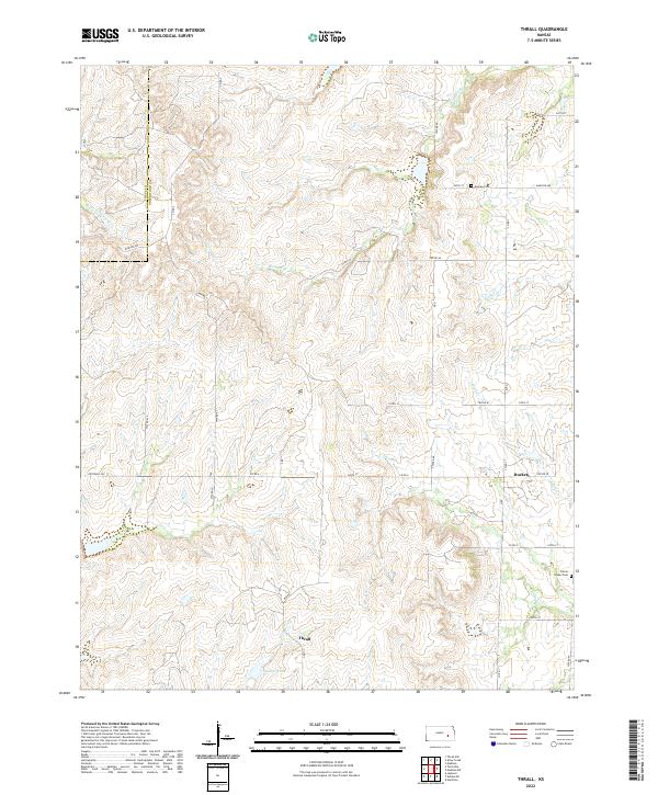
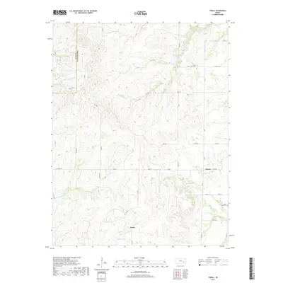
2022 Thrall
Greenwood County, KS
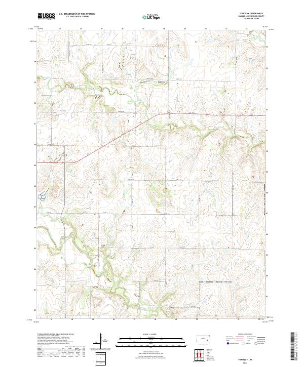
2022 Tonovay
Greenwood County, KS