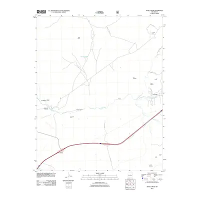
2011 Map of Tetilla Peak
USGS Topo · Published 2011About this map
Tetilla Peak and the volcanic landforms of Las Tetillitas dominate this high-desert landscape south of Santa Fe in the early twenty-first century. The arid terrain is bisected by the Santa Fe River, which flows through the Cañada de Santa Fe past the small settlements of La Bajada and La Majada. This area shows a long history of mineral exploration and land use, evidenced by numerous mining operations such as the Lone Star Mine, La Bajada Mine, and the Evelyn Mine located near Cerro Bonanza. The map captures the junction of traditional communities and modern infrastructure, where the La-Bajada Interchange connects local routes to the broader region. Local history is further grounded by the La Bajada Cemetery and the presence of agricultural water features like the Section 28 Tank.
Find a feature on this map
30 named features on this map. Tap any name to fly to it.
Don’t see what you’re looking for? This feature index may not catch every label — zoom into the map to look around manually.
Map Details
Editions of this 2011 Tetilla Peak Map
This is the sole edition of this map. No revisions or reprints were ever made.
Other maps of this area

1892 · San Pedro
USGS Topo · 1:125,000

1892 · Santa Clara
USGS Topo · 1:125,000

1951 · Agua Fria
USGS Topo · 1:24,000

1951 · Turquoise Hill
USGS Topo · 1:24,000

1952 · Turquoise Hill
USGS Topo · 1:24,000

1952 · Montoso Peak
USGS Topo · 1:24,000

1953 · Cochiti Dam
USGS Topo · 1:24,000

1953 · Santo Domingo Pueblo
USGS Topo · 1:24,000

1953 · Tetilla Peak
USGS Topo · 1:24,000

1953 · Agua Fria
USGS Topo · 1:62,500