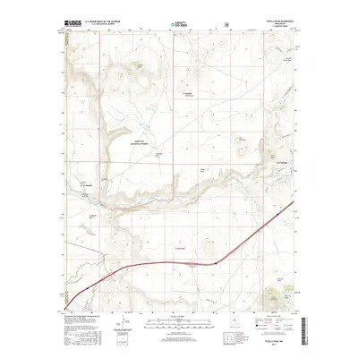
2017 Map of Tetilla Peak
USGS Topo · Published 2017About this map
Tetilla Peak and the surrounding volcanic terrain of the Caja del Rio Plateau dominate this landscape south of Santa Fe. The Santa Fe River cuts through the center of the sheet, flowing past the settlement of La Bajada and its associated La Bajada Cem. This corridor has long served as a vital geographic transition point, marked by the dramatic descent of La Bajada Hill and the sprawling La Majada Mesa. To the east, the village of La Cienega sits near the confluence of Cienega Cr and Alamo Cr, illustrating a historic reliance on these rare perennial water sources in an arid environment. The map also detail various ranching and forest infrastructure, including the Cochiti Well and Rim Well within the Santa Fe National Forest, alongside the distinct geological profiles of the Cerrillos Hills and Cerro Bonanza in the southeast.
Find a feature on this map
37 named features on this map. Tap any name to fly to it.
Don’t see what you’re looking for? This feature index may not catch every label — zoom into the map to look around manually.
Map Details
Editions of this 2017 Tetilla Peak Map
This is the sole edition of this map. No revisions or reprints were ever made.
Other maps of this area
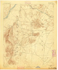
1892 · San Pedro
USGS Topo · 1:125,000
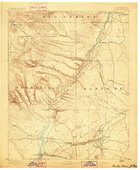
1892 · Santa Clara
USGS Topo · 1:125,000
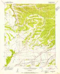
1951 · Agua Fria
USGS Topo · 1:24,000
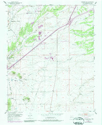
1951 · Turquoise Hill
USGS Topo · 1:24,000
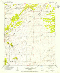
1952 · Turquoise Hill
USGS Topo · 1:24,000
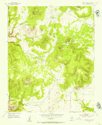
1952 · Montoso Peak
USGS Topo · 1:24,000
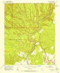
1953 · Cochiti Dam
USGS Topo · 1:24,000
1953 · Santo Domingo Pueblo
USGS Topo · 1:24,000
1953 · Tetilla Peak
USGS Topo · 1:24,000
1953 · Agua Fria
USGS Topo · 1:62,500