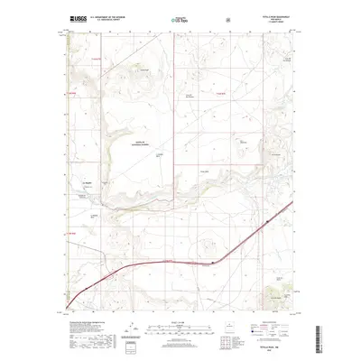
2020 Map of Tetilla Peak
USGS Topo · Published 2020About this map
The dramatic transition from the Caja del Rio Plateau down to the lower basin defines this high-desert landscape. Central to the area is the steep descent of La Bajada Hill, where the Santa Fe River carves through Cañada de Santa Fe. The settlement of La Bajada sits at the base of the escarpment, accompanied by the La Bajada Cem, marking a long-standing human presence in this arid geography.
Find a feature on this map
27 named features on this map. Tap any name to fly to it.
Don’t see what you’re looking for? This feature index may not catch every label — zoom into the map to look around manually.
Map Details
Editions of this 2020 Tetilla Peak Map
This is the sole edition of this map. No revisions or reprints were ever made.
Other maps of this area

1892 · San Pedro
USGS Topo · 1:125,000

1892 · Santa Clara
USGS Topo · 1:125,000

1951 · Agua Fria
USGS Topo · 1:24,000

1951 · Turquoise Hill
USGS Topo · 1:24,000

1952 · Turquoise Hill
USGS Topo · 1:24,000

1952 · Montoso Peak
USGS Topo · 1:24,000

1953 · Cochiti Dam
USGS Topo · 1:24,000

1953 · Santo Domingo Pueblo
USGS Topo · 1:24,000

1953 · Tetilla Peak
USGS Topo · 1:24,000

1953 · Agua Fria
USGS Topo · 1:62,500